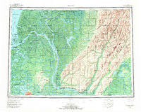
1952 Map of Kwiguk
USGS Topo · Published 1972About this map
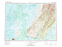
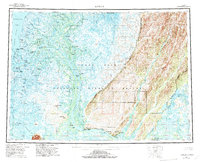
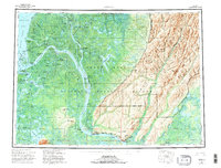
The Yukon River divides into a sprawling network of distributaries as it reaches the Bering Sea in this 1952 study. This era captures the river-centered life of the delta before modern infrastructure reshaped regional transport, with a heavy reliance on seasonal waterways and a winter trail system. Settlements like Emmonak, Kwiguk, and Alakanuk are established at critical junctions where the main flow splits into the Kwanak Pass and Kwikluak Pass.
Find a feature on this map
93 named features on this map. Tap any name to fly to it.
Don’t see what you’re looking for? This feature index may not catch every label — zoom into the map to look around manually.
Map Details
Editions of this 1952 Kwiguk Map
8 editions found
Other maps of this area

1947 · Russian Mission
USGS Topo · 1:250,000

1950 · Russian Mission
USGS Topo · 1:250,000

1951 · Marshall
USGS Topo · 1:250,000

1951 · Unalakleet
USGS Topo · 1:250,000

1951 · Hooper Bay
USGS Topo · 1:250,000

1951 · Black
USGS Topo · 1:250,000

1951 · St Michael
USGS Topo · 1:250,000

1951 · Holy Cross
USGS Topo · 1:250,000

1952 · Kwiguk
USGS Topo · 1:250,000

1952 · Kwiguk D-1
USGS Topo · 1:63,360