
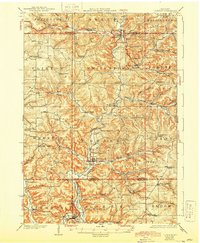
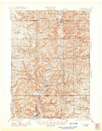
1926 Map of La Farge
USGS Topo · Published 1926About this map
The Kickapoo River carves a deep path through the heart of this Driftless Area landscape, serving as the central artery for the village of La Farge and the surrounding township of Stark. In the 1920s, this region was defined by a dense network of one-room schoolhouses, such as Johnniecake School and Sugar Grove School, which anchored rural communities nestled in the numerous branching coulees.
Find a feature on this map
97 named features on this map. Tap any name to fly to it.
Don’t see what you’re looking for? This feature index may not catch every label — zoom into the map to look around manually.
Map Details
Editions of this 1926 La Farge Map
3 editions found
Other maps of this area

1905 · Richland Center
USGS Topo · 1:125,000

1909 · Sparta
USGS Topo · 1:62,500

1916 · Tomah
USGS Topo · 1:62,500

1919 · Kendall
USGS Topo · 1:62,500

1921 · Kendall
USGS Topo · 1:62,500

1923 · Viroqua
USGS Topo · 1:62,500

1924 · Gays Mills
USGS Topo · 1:62,500

1926 · Gays Mills
USGS Topo · 1:62,500

1926 · Viroqua
USGS Topo · 1:62,500

1927 · Hillsboro
USGS Topo · 1:62,500