
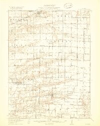
1918 Map of La Harpe
USGS Topo · Published 1918About this map
La Harpe and Blandinsville serve as the primary hubs in this agricultural landscape during the years following the Great War. The terrain is defined by a dense network of country schoolhouses, with nearly every section of land supporting its own local institution, such as Duck Pond School, Cane Patch School, and Gilead School. This pattern reflects the decentralized nature of rural Illinois education before the consolidation of the mid-20th century.
Find a feature on this map
88 named features on this map. Tap any name to fly to it.
Don’t see what you’re looking for? This feature index may not catch every label — zoom into the map to look around manually.
Map Details
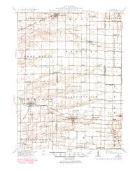
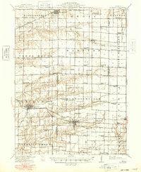
Editions of this 1918 La Harpe Map
4 editions found
Other maps of this area

1912 · Macomb
USGS Topo · 1:62,500

1913 · Colchester
USGS Topo · 1:62,500

1914 · Macomb
USGS Topo · 1:62,500

1916 · Good Hope
USGS Topo · 1:62,500

1918 · Good Hope
USGS Topo · 1:62,500

1921 · Monmouth
USGS Topo · 1:62,500

1923 · Monmouth
USGS Topo · 1:62,500

1932 · Lomax
USGS Topo · 1:62,500

1933 · Carthage
USGS Topo · 1:62,500

1934 · Oquawka
USGS Topo · 1:48,000