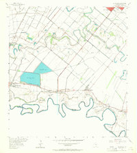
1956 Map of La Paloma
USGS Topo · Published 1964About this map
The Rio Grande defines the southern boundary of this South Texas landscape, where the shifting river channel has created numerous distinct parcels known as bancos, including Llanito Banco No 14 and Benavides Banco No 10. These features, alongside prominent river meanders like Wentz Bend and Clark Bend, illustrate the historical fluidity of the international border between Texas and Tamaulipas. Inland, the terrain is marked by ancient distributary channels such as Resaca de los Fresnos and Resaca del Rancho Viejo, which contrast with the engineered precision of Reservoir No 1 and Reservoir No 2. Small rural communities and schools, such as La Paloma and Highland Sch, are linked by a network of boulevards like Sam Houston Boulevard and the path of an Old Railroad Grade, showing the transition from earlier rail-based logistics to a mid-century road and irrigation-based economy.
Find a feature on this map
41 named features on this map. Tap any name to fly to it.
Don’t see what you’re looking for? This feature index may not catch every label — zoom into the map to look around manually.
Map Details
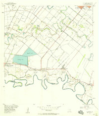
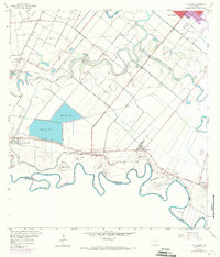
Editions of this 1956 La Paloma Map
3 editions found
Other maps of this area

1929 · Rio Hondo
USGS Topo · 1:24,000

1929 · Harlingen
USGS Topo · 1:24,000

1929 · Santa Maria
USGS Topo · 1:24,000

1929 · La Feria
USGS Topo · 1:24,000

1929 · La Paloma
USGS Topo · 1:24,000

1930 · West Brownsville
USGS Topo · 1:24,000

1930 · Barreda
USGS Topo · 1:24,000

1932 · Rio Hondo
USGS Topo · 1:31,680

1932 · Harlingen
USGS Topo · 1:31,680

1936 · La Feria
USGS Topo · 1:31,680