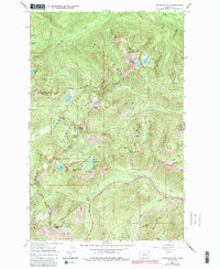
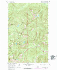
1965 Map of Labyrinth Mtn
USGS Topo · Published 1987About this map
The Wenatchee National Forest high country is captured here during a period of transition, where established hiking routes and rail infrastructure intersect at the Cascade crest. The Pacific Crest National Scenic Trail winds through the high ridges, passing Lake Janus and Valhalla Lake as it traverses the boundary between Chelan and Snohomish counties. This mapping includes later 1980s revisions that highlight the wilderness character of the Henry M. Jackson Wilderness and the Mt Baker-Snoqualmie National Forest.
Find a feature on this map
35 named features on this map. Tap any name to fly to it.
Don’t see what you’re looking for? This feature index may not catch every label — zoom into the map to look around manually.
Map Details
Editions of this 1965 Labyrinth Mtn Map
5 editions found
Other maps of this area

1901 · Chiwaukum
USGS Topo · 1:125,000

1902 · Skykomish
USGS Topo · 1:125,000

1904 · Chiwaukum
USGS Topo · 1:125,000

1905 · Skykomish
USGS Topo · 1:125,000

1957 · Wenatchee
USGS Topo · 1:250,000

1965 · Captain Point
USGS Topo · 1:24,000

1965 · Chiwaukum Mts
USGS Topo · 1:62,500

1965 · Stevens Pass
USGS Topo · 1:24,000

1965 · Wenatchee Lake
USGS Topo · 1:62,500

1965 · Poe Mountain
USGS Topo · 1:24,000