
1961 Map of Lafayette East
USGS Topo · Published 1962About this map
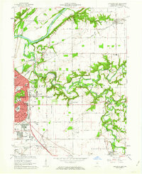
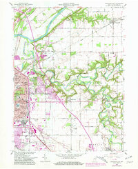
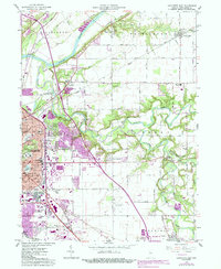
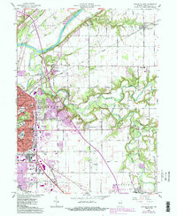
The Wabash River carves a deep valley through the northern half of this Tippecanoe County landscape, joined by the winding Wildcat Creek and its southern forks. In the early 1960s, the eastern outskirts of Lafayette show significant postwar expansion, with residential developments like Eastwitch and Meadowbrook emerging near institutional landmarks such as the St Lawrence Convent and Market Square Shopping Center. This growth is balanced against an established rural infrastructure of family-named cemeteries and community anchors, including the North Union Cem and the Monitor Sch.
Find a feature on this map
69 named features on this map. Tap any name to fly to it.
Don’t see what you’re looking for? This feature index may not catch every label — zoom into the map to look around manually.
Map Details
Editions of this 1961 Lafayette East Map
5 editions found
Other maps of this area

1941 · Lafayette
USGS Topo · 1:24,000

1942 · Lafayette
USGS Topo · 1:24,000

1950 · Lafayette
USGS Topo · 1:24,000

1953 · Danville
USGS Topo · 1:250,000

1955 · Danville
USGS Topo · 1:250,000

1956 · Danville
USGS Topo · 1:250,000

1961 · Mulberry
USGS Topo · 1:24,000

1961 · Pyrmont
USGS Topo · 1:24,000

1961 · Romney
USGS Topo · 1:24,000

1961 · Stockwell
USGS Topo · 1:24,000