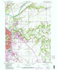
1961 Map of Lafayette East
USGS Topo · Published 1987About this map
Lafayette's eastern expansion and the surrounding farmsteads of Tippecanoe County are documented here during a period of significant growth. The landscape is defined by the Wabash River and the winding course of Wildcat Creek, which cuts through Perry and Fairfield townships. Local industry and aviation are prominent, with Aretz Airport and Halsmer Airport serving the region alongside active Sand and Gravel Pits.
Find a feature on this map
66 named features on this map. Tap any name to fly to it.
Don’t see what you’re looking for? This feature index may not catch every label — zoom into the map to look around manually.
Map Details
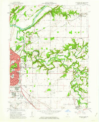
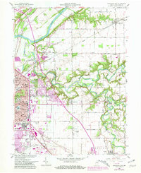
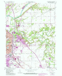
Editions of this 1961 Lafayette East Map
5 editions found

Other maps of this area

1941 · Lafayette
USGS Topo · 1:24,000

1942 · Lafayette
USGS Topo · 1:24,000

1950 · Lafayette
USGS Topo · 1:24,000

1953 · Danville
USGS Topo · 1:250,000

1955 · Danville
USGS Topo · 1:250,000

1956 · Danville
USGS Topo · 1:250,000

1961 · Mulberry
USGS Topo · 1:24,000

1961 · Pyrmont
USGS Topo · 1:24,000

1961 · Romney
USGS Topo · 1:24,000

1961 · Stockwell
USGS Topo · 1:24,000