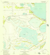
1955 Map of Laguna Vista
USGS Topo · Published 1957About this map
Laguna Madre defines the eastern edge of this coastal Cameron County landscape, where the tides and winds shape a complex network of lomas and ridges. In the mid-1950s, the small settlements of Laguna Vista and Bayside stood as quiet outposts connected by the General Brant Highway and the Missouri Pacific railroad line. The map captures a transitional geography of low-lying water bodies including Bahia Grande and San Martin Lake, interspersed with prominent landmarks like Bird Island and Long Ridge.
Find a feature on this map
38 named features on this map. Tap any name to fly to it.
Don’t see what you’re looking for? This feature index may not catch every label — zoom into the map to look around manually.
Map Details
Editions of this 1955 Laguna Vista Map
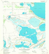
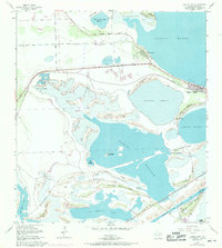
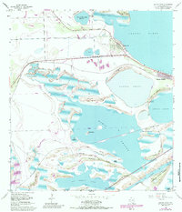
4 editions found
Other maps of this area

1929 · La Coma
USGS Topo · 1:24,000

1929 · Palmito Hill
USGS Topo · 1:24,000

1929 · Point Isabel
USGS Topo · 1:24,000

1929 · Laguna Vista
USGS Topo · 1:24,000

1930 · Padre Island No. 1
USGS Topo · 1:24,000

1930 · Los Fresnos
USGS Topo · 1:24,000

1930 · Laguna Atascosa
USGS Topo · 1:24,000

1930 · East Brownsville
USGS Topo · 1:24,000

1934 · Port Isabel
USGS Topo · 1:31,680

1934 · La Coma
USGS Topo · 1:31,680