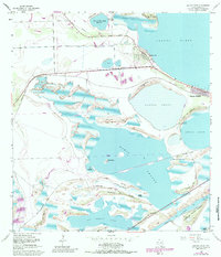
1955 Map of Laguna Vista
USGS Topo · Published 1984About this map
Coastal mudflats and low-lying lomas characterize this mid-century portrait of the South Texas shoreline near the Brownsville Ship Channel. While residential developments like Laguna Vista and Laguna Heights appear along the northern and eastern edges, much of the landscape remains a complex network of wetlands including Bahia Grande and San Martin Lake. The terrain is defined by a series of low ridges and points, such as Redhead Ridge, Long Ridge, and Punta de las Bahias, which rise slightly above the surrounding inundation zones.
Find a feature on this map
36 named features on this map. Tap any name to fly to it.
Don’t see what you’re looking for? This feature index may not catch every label — zoom into the map to look around manually.
Map Details
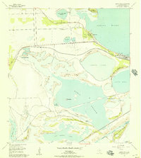
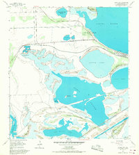
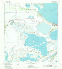
Editions of this 1955 Laguna Vista Map
4 editions found
Other maps of this area

1929 · La Coma
USGS Topo · 1:24,000

1929 · Palmito Hill
USGS Topo · 1:24,000

1929 · Point Isabel
USGS Topo · 1:24,000

1929 · Laguna Vista
USGS Topo · 1:24,000

1930 · Padre Island No. 1
USGS Topo · 1:24,000

1930 · Los Fresnos
USGS Topo · 1:24,000

1930 · Laguna Atascosa
USGS Topo · 1:24,000

1930 · East Brownsville
USGS Topo · 1:24,000

1934 · Port Isabel
USGS Topo · 1:31,680

1934 · La Coma
USGS Topo · 1:31,680