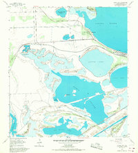
1955 Map of Laguna Vista
USGS Topo · Published 1968About this map
The coastal wetlands of South Texas define this mid-century survey, showcasing a complex network of lomas and lagoons near the gulf. The growing settlement of Laguna Vista and the nearby community of Bayside sit on the edge of the Laguna Madre, connected by the General Brant Highway and the Missouri Pacific railroad line. The landscape is characterized by prominent ridges or lomas, such as Loma la Cuchilla and Loma del Ballo, which rise above the surrounding tidal flats and basins like Bahia Grande and Laguna Larga. Commercial and maritime interests are evident in the Brownsville Ship Channel and the Boca Chica Passing Basin at the southern edge. Local history is preserved through landmarks like Posta de Roque and traditional travel points such as Carretas Crossing and La Aura Crossing, which navigated the shallow waters between islands and ridges.
Find a feature on this map
40 named features on this map. Tap any name to fly to it.
Don’t see what you’re looking for? This feature index may not catch every label — zoom into the map to look around manually.
Map Details
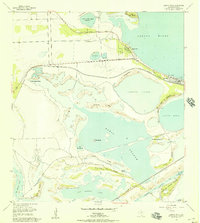
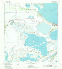
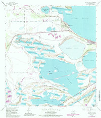
Editions of this 1955 Laguna Vista Map
4 editions found
Other maps of this area

1929 · La Coma
USGS Topo · 1:24,000

1929 · Palmito Hill
USGS Topo · 1:24,000

1929 · Point Isabel
USGS Topo · 1:24,000

1929 · Laguna Vista
USGS Topo · 1:24,000

1930 · Padre Island No. 1
USGS Topo · 1:24,000

1930 · Los Fresnos
USGS Topo · 1:24,000

1930 · Laguna Atascosa
USGS Topo · 1:24,000

1930 · East Brownsville
USGS Topo · 1:24,000

1934 · Port Isabel
USGS Topo · 1:31,680

1934 · La Coma
USGS Topo · 1:31,680