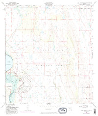
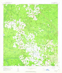
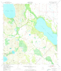
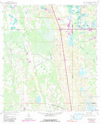
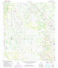
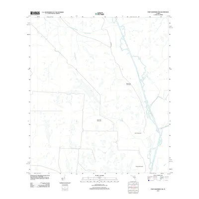
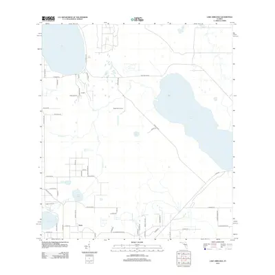
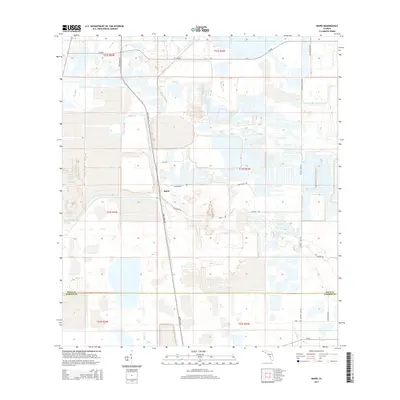
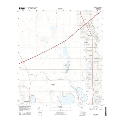
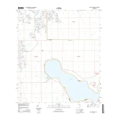
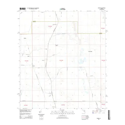
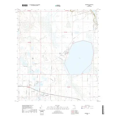
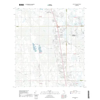
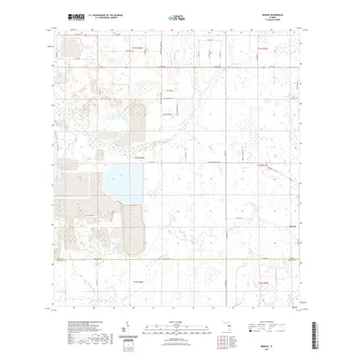
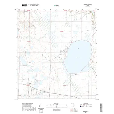
1952 Map of Lake Arbuckle NE
USGS Topo · Published 1973About this map
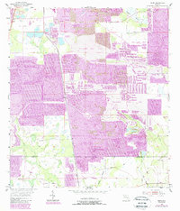
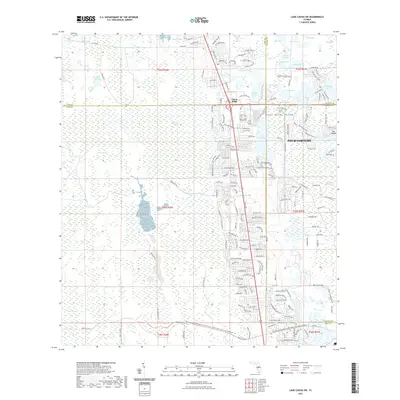
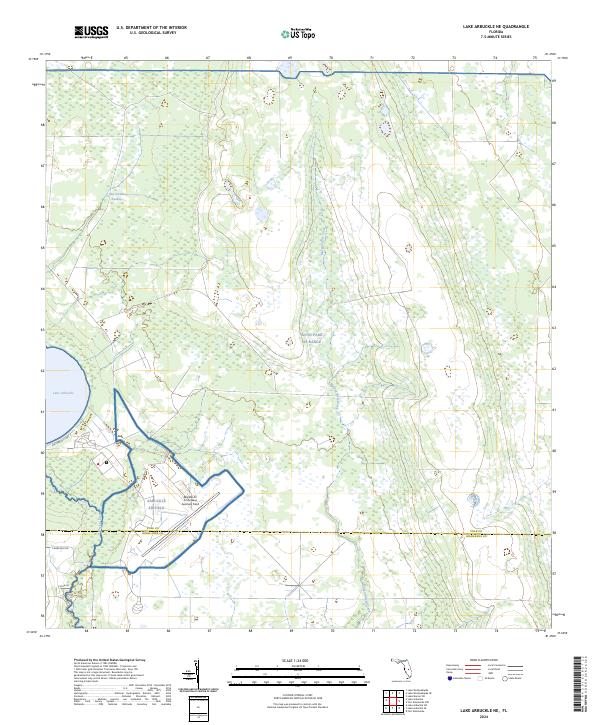
The Avon Park Bombing Range dominates this mid-century central Florida landscape, occupying a vast portion of the interior terrain east of Lake Arbuckle. The land is characterized by a complex network of waterways and drainage features, including the Arbuckle Creek and the man-made Rim Canal. This 1952 survey, with revisions added through the early 1970s, captures the intersection of military utility and natural hydrology along the border of Polk Co and Highlands Co. Infrastructure supporting the military operations is visible near the shoreline, where a Beacon, Sewage Disposal plant, and an old Railroad Grade are located. Further east, the terrain transitions into the lowlands of Morgan Hole Creek, showing the expansive and largely uninhabited character of the bombing range territory during the Cold War era.
Find a feature on this map
13 named features on this map. Tap any name to fly to it.
Don’t see what you’re looking for? This feature index may not catch every label — zoom into the map to look around manually.
Map Details
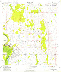
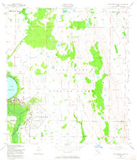
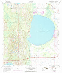
Editions of this 1952 Lake Arbuckle NE Map
4 editions found
Historical Maps of Polk County Through Time
98 maps found
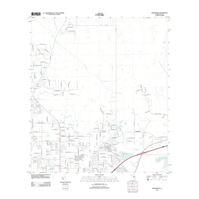
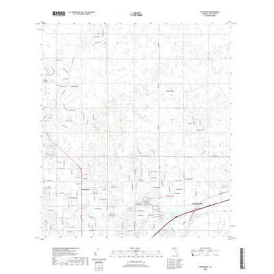
1944 Providence
Polk County, FL
1944 Socrum
Polk County, FL
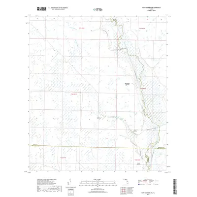
1952 Fort Kissimmee NW
Polk County, FL
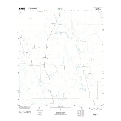
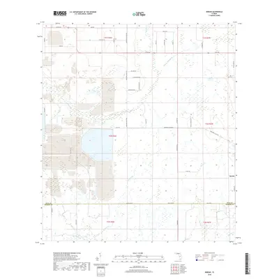
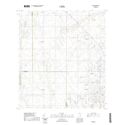
1952 Hesperides
Polk County, FL
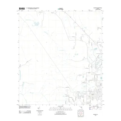
1952 Lake Arbuckle NE
Polk County, FL
1952 Lake Arbuckle
Polk County, FL
1952 Lake Weohyakapka
Polk County, FL
1952 Lake Weohyakapka SE
Polk County, FL
1953 Lake Hatchineha
Polk County, FL
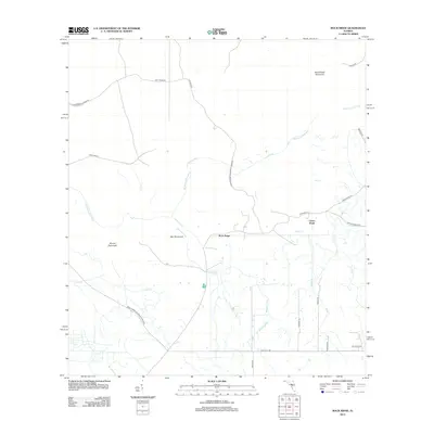
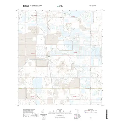
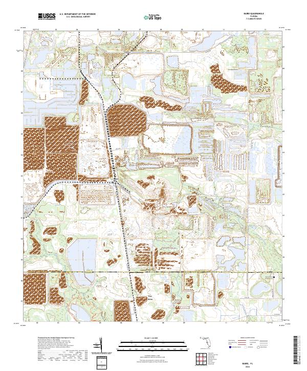
1955 Baird
Polk County, FL
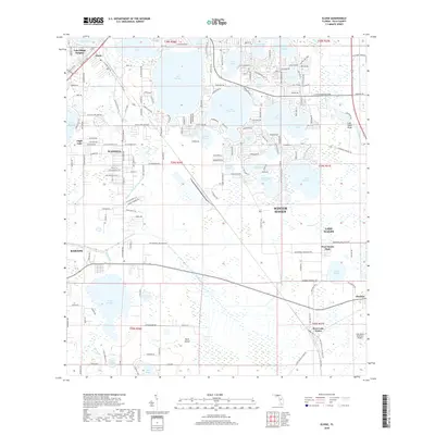
1955 Eloise
Polk County, FL
1956 Bereah
Polk County, FL
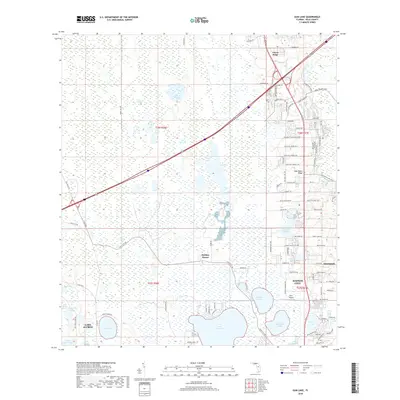
1959 Gum Lake
Polk County, FL
1959 Lake Louisa SW
Polk County, FL
1959 Poyner
Polk County, FL
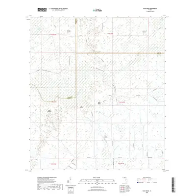
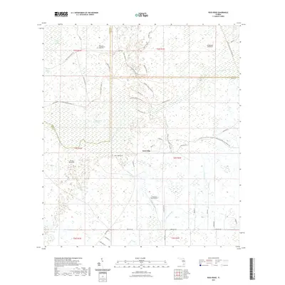
1960 Rock Ridge
Polk County, FL
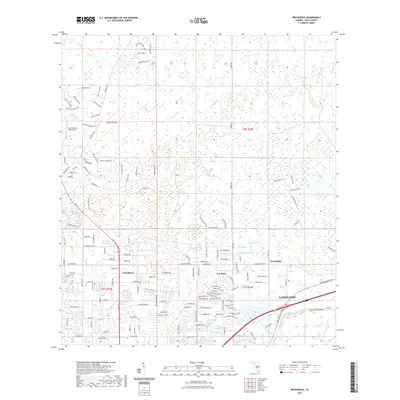
1975 Providence
Polk County, FL
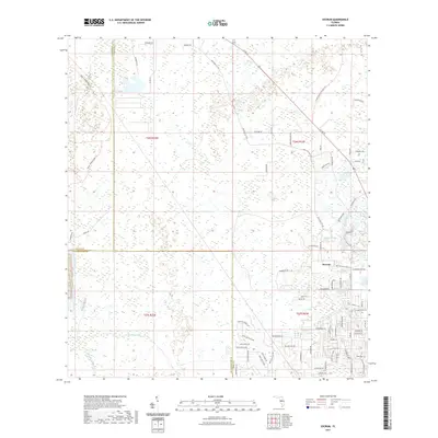
1975 Socrum
Polk County, FL
2012 Baird
Polk County, FL
2012 Bereah
Polk County, FL
2012 Eloise
Polk County, FL
2012 Fort Kissimmee NW
Polk County, FL
2012 Gum Lake
Polk County, FL
2012 Hesperides
Polk County, FL
2012 Lake Arbuckle NE
Polk County, FL
2012 Lake Arbuckle
Polk County, FL

2012 Lake Hatchineha
Polk County, FL
2012 Lake Louisa SW
Polk County, FL
2012 Lake Weohyakapka
Polk County, FL
2012 Lake Weohyakapka SE
Polk County, FL
2012 Poyner
Polk County, FL
2012 Providence
Polk County, FL
2012 Rock Ridge
Polk County, FL
2012 Socrum
Polk County, FL
2015 Baird
Polk County, FL
2015 Bereah
Polk County, FL
2015 Eloise
Polk County, FL
2015 Fort Kissimmee NW
Polk County, FL
2015 Gum Lake
Polk County, FL
2015 Hesperides
Polk County, FL
2015 Lake Arbuckle NE
Polk County, FL
2015 Lake Arbuckle
Polk County, FL
2015 Lake Hatchineha
Polk County, FL
2015 Lake Louisa SW
Polk County, FL
2015 Lake Weohyakapka
Polk County, FL
2015 Lake Weohyakapka SE
Polk County, FL
2015 Poyner
Polk County, FL
2015 Providence
Polk County, FL

2015 Rock Ridge
Polk County, FL
2015 Socrum
Polk County, FL
2018 Baird
Polk County, FL
2018 Bereah
Polk County, FL
2018 Eloise
Polk County, FL
2018 Fort Kissimmee NW
Polk County, FL
2018 Gum Lake
Polk County, FL
2018 Hesperides
Polk County, FL
2018 Lake Arbuckle NE
Polk County, FL
2018 Lake Arbuckle
Polk County, FL
2018 Lake Hatchineha
Polk County, FL
2018 Lake Louisa SW
Polk County, FL
2018 Lake Weohyakapka
Polk County, FL
2018 Lake Weohyakapka SE
Polk County, FL
2018 Poyner
Polk County, FL
2018 Providence
Polk County, FL
2018 Rock Ridge
Polk County, FL
2018 Socrum
Polk County, FL
2021 Baird
Polk County, FL
2021 Bereah
Polk County, FL
2021 Eloise
Polk County, FL
2021 Fort Kissimmee NW
Polk County, FL
2021 Gum Lake
Polk County, FL
2021 Hesperides
Polk County, FL
2021 Lake Arbuckle NE
Polk County, FL
2021 Lake Arbuckle
Polk County, FL
2021 Lake Hatchineha
Polk County, FL
2021 Lake Louisa SW
Polk County, FL
2021 Lake Weohyakapka
Polk County, FL
2021 Lake Weohyakapka SE
Polk County, FL
2021 Poyner
Polk County, FL
2021 Providence
Polk County, FL
2021 Rock Ridge
Polk County, FL
2021 Socrum
Polk County, FL
2024 Baird
Polk County, FL
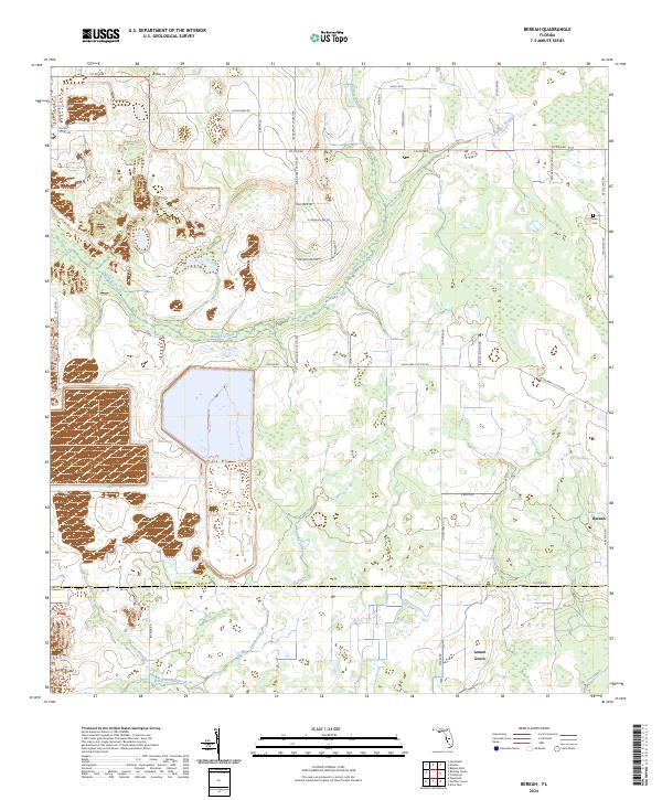
2024 Bereah
Polk County, FL
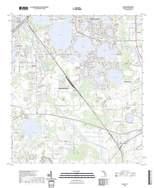
2024 Eloise
Polk County, FL
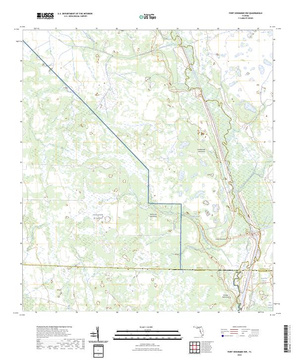
2024 Fort Kissimmee NW
Polk County, FL
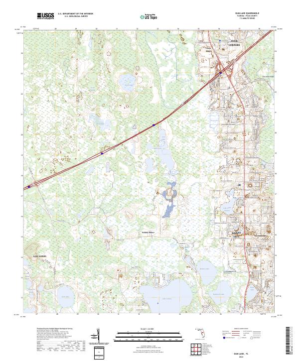
2024 Gum Lake
Polk County, FL
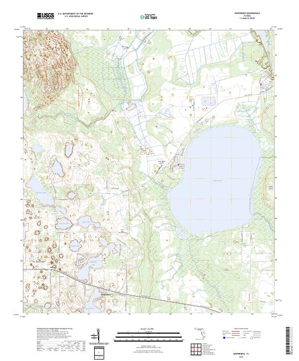
2024 Hesperides
Polk County, FL
2024 Lake Arbuckle NE
Polk County, FL
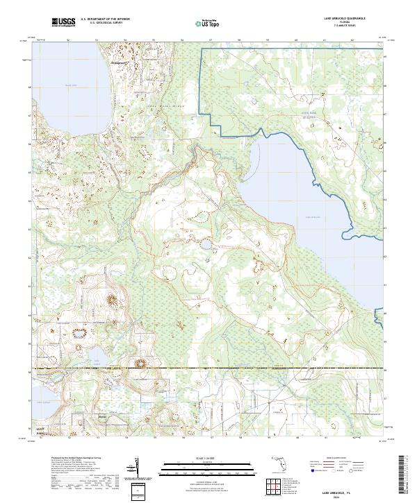
2024 Lake Arbuckle
Polk County, FL
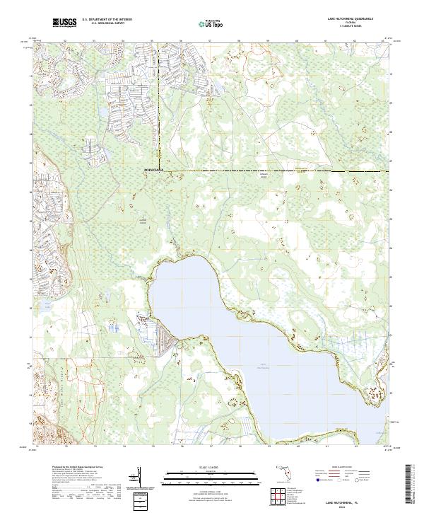
2024 Lake Hatchineha
Polk County, FL
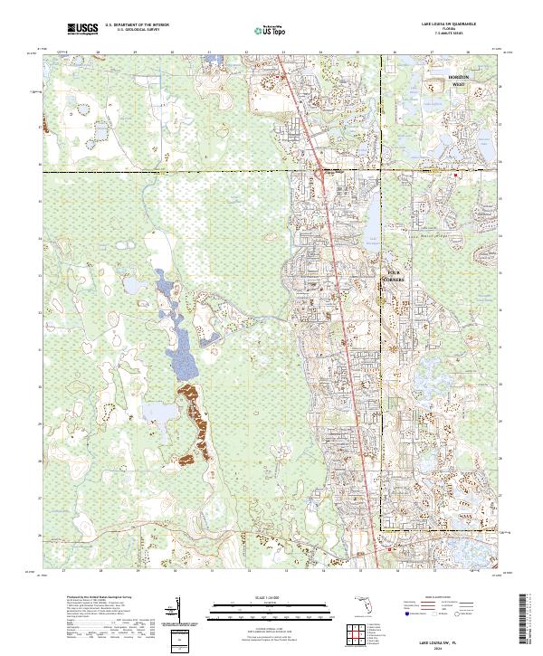
2024 Lake Louisa SW
Polk County, FL
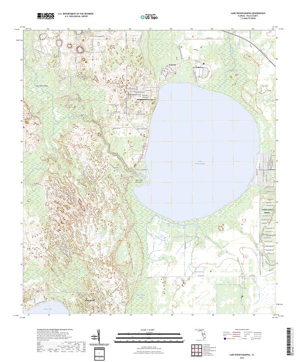
2024 Lake Weohyakapka
Polk County, FL
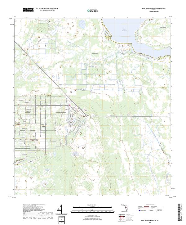
2024 Lake Weohyakapka SE
Polk County, FL
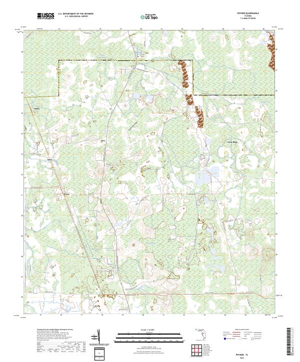
2024 Poyner
Polk County, FL
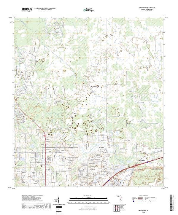
2024 Providence
Polk County, FL
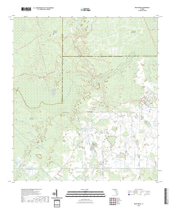
2024 Rock Ridge
Polk County, FL
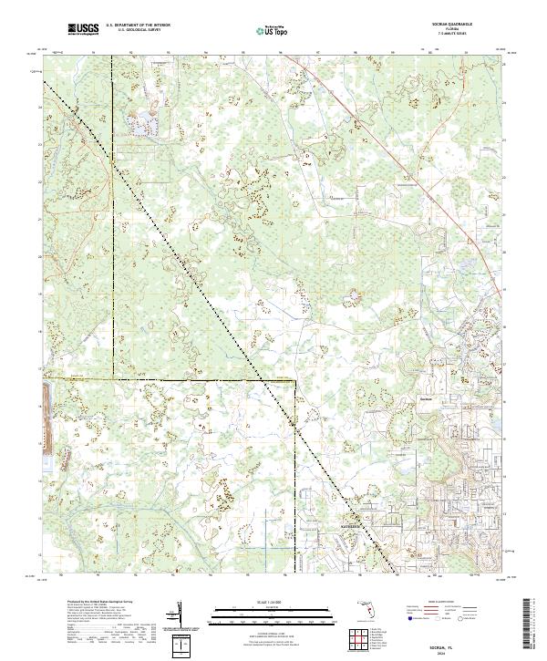
2024 Socrum
Polk County, FL