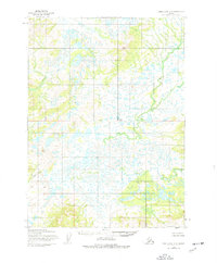
1954 Map of Lake Clark A-8
USGS Topo · Published 1977About this map
Swan River and the Chulitna River wind through a complex system of ponds and wetlands in this 1950s survey of the Lake and Peninsula region. The landscape is defined by its lack of human infrastructure, showing no roads or established trails at the time of the photogrammetric mapping. Key navigational landmarks are sparse, dominated by the water systems and the prominent feature labeled Buck. The survey documents a wilderness environment where the North Fork Swan River meets the main channel, providing a primary record of the untouched hydrology before later 20th-century developments. The survey also indicates the precise location of the Base Line, a fundamental surveying marker for the region's land management.
Find a feature on this map
5 named features on this map. Tap any name to fly to it.
Don’t see what you’re looking for? This feature index may not catch every label — zoom into the map to look around manually.
Map Details
Editions of this 1954 Lake Clark A-8 Map
2 editions found
Other maps of this area

1946 · Lake Clark
USGS Topo · 1:250,000

1950 · Taylor Mountains
USGS Topo · 1:250,000

1951 · Lake Clark
USGS Topo · 1:250,000

1951 · Taylor Mountains
USGS Topo · 1:250,000

1951 · Dillingham
USGS Topo · 1:250,000

1952 · Iliamna
USGS Topo · 1:250,000

1954 · Lake Clark A-7
USGS Topo · 1:63,360

1954 · Lake Clark A-8
USGS Topo · 1:63,360

1954 · Iliamna D-8
USGS Topo · 1:63,360

1954 · Taylor Mountains
USGS Topo · 1:250,000