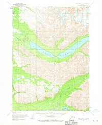
1954 Map of Lake Clark C-3
USGS Topo · Published 1970About this map
Twin Lakes stretches across the center of this interior Alaska wilderness, serving as a primary corridor for the Chilikadrotna River which flows westward from the lower lake's outlet. The terrain is defined by deep glacial valleys and significant elevation changes, with the Kijik River and College Creek carving through the southern portion of the quadrangle. A historic Native Trail is mapped in the northwest corner, indicating established overland travel routes through the high country before the era of widespread aviation. Mapped by the Army Map Service using aerial photography from the late 1950s, the sheet documents a landscape of drainages and peaks where Portage Lake sits at the southern edge, connected to the broader river systems that define the Lake Clark region.
Find a feature on this map
6 named features on this map. Tap any name to fly to it.
Don’t see what you’re looking for? This feature index may not catch every label — zoom into the map to look around manually.
Map Details
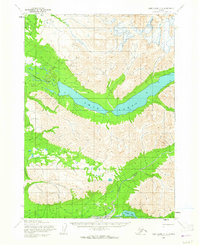
Editions of this 1954 Lake Clark C-3 Map
3 editions found
Other maps of this area

1946 · Lake Clark
USGS Topo · 1:250,000

1951 · Lake Clark
USGS Topo · 1:250,000

1954 · Lake Clark C-3
USGS Topo · 1:63,360

1954 · Lake Clark C-4
USGS Topo · 1:63,360

1954 · Lake Clark D-3
USGS Topo · 1:63,360

1954 · Lake Clark B-3
USGS Topo · 1:63,360

1954 · Lake Clark B-4
USGS Topo · 1:63,360

1954 · Lake Clark D-4
USGS Topo · 1:63,360
1958 · Lake Clark D-2
USGS Topo · 1:63,360

1958 · Lake Clark C-2
USGS Topo · 1:63,360