
1958 Map of Lake Clark
USGS Topo · Published 1967About this map
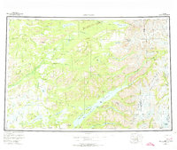
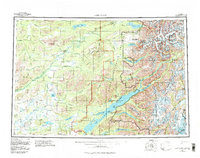
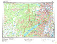
Lake Clark dominates this southwestern Alaskan landscape, serving as the central waterway for the small settlements of Port Alsworth and the Old Village. Compiled from mid-century surveys, the map illustrates a transition from the western lowland river systems like the Hoholitna River and Mulchatna River to the high elevations of the Chigmit Mountains and the Aleut Range. In the east, the towering Iliamna Volcano and Mount Nick overlook glacial features such as the Tuxedni Glacier and the Gladiator Basin. This survey documents early transportation routes through the high country, including the Summit Trail and essential mountain crossings at Telaquana Pass and Moose Pasture Pass. The interconnected waters of Twin Lakes, Turquoise Lake, and Kontrashibuna Lake are mapped in detail alongside numerous family-named landmarks like Keyes Point and Turner Bay, providing a clear view of the region's geography before modern development.
Find a feature on this map
67 named features on this map. Tap any name to fly to it.
Don’t see what you’re looking for? This feature index may not catch every label — zoom into the map to look around manually.
Map Details
Editions of this 1958 Lake Clark Map
4 editions found
Other maps of this area

1944 · Kenai
USGS Topo · 1:250,000

1946 · Lake Clark
USGS Topo · 1:250,000

1949 · Tyonek
USGS Topo · 1:250,000

1950 · Kenai
USGS Topo · 1:250,000

1950 · Sleetmute
USGS Topo · 1:250,000

1950 · Taylor Mountains
USGS Topo · 1:250,000

1951 · Lake Clark
USGS Topo · 1:250,000

1951 · Taylor Mountains
USGS Topo · 1:250,000

1951 · Tyonek
USGS Topo · 1:250,000

1951 · Lime Hills
USGS Topo · 1:250,000