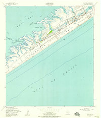
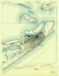
1954 Map of Lake Como
USGS Topo · Published 1958About this map
Galveston Island is defined by a landscape of narrow salt marshes and branching bayous along the Texas coast in the mid-1950s. This survey, revised using 1952 aerial photography, captures the barrier island's transition from the open waters of the Gulf of Mexico and its West Beach to the complex network of tidal flats and inlets of West Bay. The interior of the island is relatively sparse, with Stewart Road and Eightmile Road serving as the primary arteries for travel and early settlement.
Find a feature on this map
25 named features on this map. Tap any name to fly to it.
Don’t see what you’re looking for? This feature index may not catch every label — zoom into the map to look around manually.
Map Details
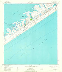
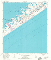
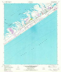
Editions of this 1954 Lake Como Map
4 editions found
Other maps of this area

1929 · Karankawa Lake
USGS Topo · 1:24,000

1929 · Hitchcock
USGS Topo · 1:24,000

1929 · Virginia Point
USGS Topo · 1:24,000

1930 · Galveston
USGS Topo · 1:24,000

1931 · Lake Como
USGS Topo · 1:24,000

1932 · Hitchcock
USGS Topo · 1:31,680

1932 · Virginia Point
USGS Topo · 1:31,680

1933 · Karankawa Lake
USGS Topo · 1:31,680

1933 · San Luis Pass
USGS Topo · 1:31,680
1933 · Galveston
USGS Topo · 1:31,680