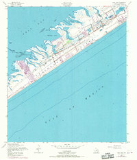
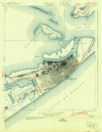
1954 Map of Lake Como
USGS Topo · Published 1970About this map
Galveston Island is depicted here during a transitional phase of mid-century coastal development, stretching between the Gulf of Mexico and the marshy reaches of West Bay. The landscape is defined by an intricate network of inlets and tidal flats, including Delehide Cove, Starvation Cove, and Carancahua Cove. These waters are separated from the open sea by West Beach, where a primary artery, Stewart Road, facilitates the island's expansion. Significant photogrammetric revisions from 1969 reveal the emergence of new residential canals and a Golf Course carved into the wetlands near Lake Como. This survey serves as a vital record for tracing the evolution of coastal property and the stabilization of formerly shifting features like Carancahua Reef and Hoeckers Pt before further modern urbanization changed the shoreline.
Find a feature on this map
30 named features on this map. Tap any name to fly to it.
Don’t see what you’re looking for? This feature index may not catch every label — zoom into the map to look around manually.
Map Details
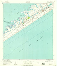
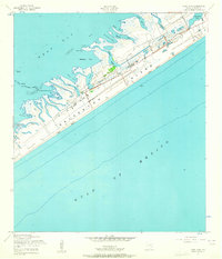
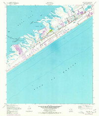
Editions of this 1954 Lake Como Map
4 editions found
Other maps of this area

1929 · Karankawa Lake
USGS Topo · 1:24,000

1929 · Hitchcock
USGS Topo · 1:24,000

1929 · Virginia Point
USGS Topo · 1:24,000

1930 · Galveston
USGS Topo · 1:24,000

1931 · Lake Como
USGS Topo · 1:24,000

1932 · Hitchcock
USGS Topo · 1:31,680

1932 · Virginia Point
USGS Topo · 1:31,680

1933 · Karankawa Lake
USGS Topo · 1:31,680

1933 · San Luis Pass
USGS Topo · 1:31,680
1933 · Galveston
USGS Topo · 1:31,680