
1953 Map of Lake Hatchineha
USGS Topo · Published 1954About this map
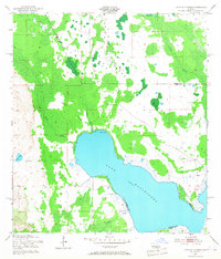
Lake Hatchineha dominates this central Florida landscape, recorded by the Corps of Engineers during the early 1950s. The map illustrates a complex network of wetlands and seasonal drainages, where Reedy Creek and London Creek feed into the northern reaches of the lake. The terrain is characterized by distinctive dry-ground features such as Johnson Island and London Island, which rise above the surrounding marshlands. Human presence is sparse, centered primarily around Lyle Camp on the western shore and a Gaging Station at the mouth of the creek system. A prominent Levee on the southeastern shore suggests early water management efforts along the Osceola and Polk County boundary, capturing a period before extensive modern drainage projects altered the region's natural hydrology.
Find a feature on this map
17 named features on this map. Tap any name to fly to it.
Don’t see what you’re looking for? This feature index may not catch every label — zoom into the map to look around manually.
Map Details
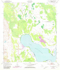
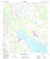
Editions of this 1953 Lake Hatchineha Map
4 editions found
Other maps of this area

1952 · Lake Wales
USGS Topo · 1:24,000

1952 · Lake Weohyakapka NE
USGS Topo · 1:24,000

1952 · Hesperides
USGS Topo · 1:24,000

1953 · Cypress Lake
USGS Topo · 1:24,000

1953 · Dundee
USGS Topo · 1:24,000

1953 · St Cloud South
USGS Topo · 1:24,000

1953 · Lake Tohopekaliga
USGS Topo · 1:24,000

1953 · Davenport
USGS Topo · 1:24,000

1955 · Orlando
USGS Topo · 1:250,000

1956 · Fort Pierce
USGS Topo · 1:250,000