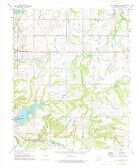
1972 Map of Lake Holdenville
USGS Topo · Published 1974About this map
The Canadian River forms the southern boundary of this 1970s landscape, where the confluence with the Little River meets the heavy industry of an active oil field. The eastern edge of Holdenville is visible, but the primary focus is on the surrounding rural infrastructure and the recreation and conservation hub at Lake Holdenville. This area includes the Holdenville State Fish Hatchery and several rural congregations such as Many Springs Ch and Shiloh Ch.
Find a feature on this map
33 named features on this map. Tap any name to fly to it.
Don’t see what you’re looking for? This feature index may not catch every label — zoom into the map to look around manually.
Map Details
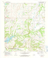
Editions of this 1972 Lake Holdenville Map
2 editions found
Other maps of this area

1896 · Coalgate
USGS Topo · 1:125,000

1899 · Coalgate
USGS Topo · 1:125,000

1900 · Wewoka
USGS Topo · 1:125,000

1900 · Coalgate
USGS Topo · 1:125,000

1954 · Oklahoma City
USGS Topo · 1:250,000

1957 · Ardmore
USGS Topo · 1:250,000

1957 · Oklahoma City
USGS Topo · 1:250,000

1963 · Ardmore
USGS Topo · 1:250,000

1963 · Oklahoma City
USGS Topo · 1:250,000

1967 · Calvin East
USGS Topo · 1:24,000