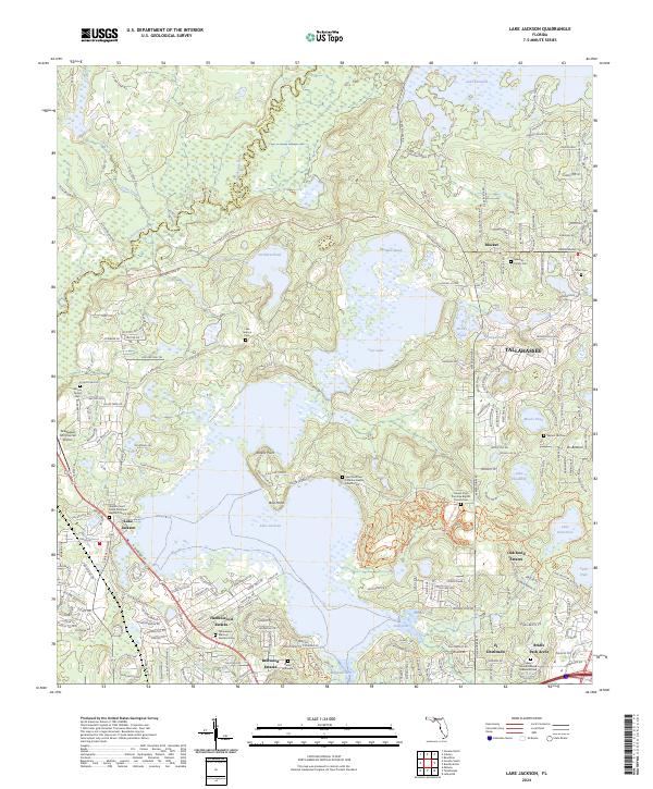
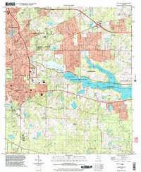
2024 Map of Lake Jackson
USGS Topo · Published 2024About this map
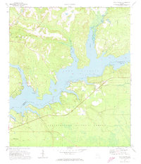
Lake Jackson and its sprawling arms, including Fords Arm and Megginis Arm, dominate this landscape north of Tallahassee. The map reveals a transition from dense residential developments like Harbinwood Estates and Bellwood Estates to the south, into a landscape of large lake basins and historic landholdings to the north. A strong religious and genealogical presence is evident through several Primitive Baptist congregations, such as Saint Matthew Primitive Baptist Church Cem and Greater Saint Mark Primitive Baptist Church Cem. Between the open waters of Carr Lake and Lake Iamonia, the terrain is marked by older family landmarks like the Spencer Family Cem and the small settlement of Blocker. To the west, the Ochlockonee River forms a natural boundary, while the Tallahassee Commercial Airport and Alfred B. Maclay Gardens State Park Trl suggest the area's modern multi-use character.
Find a feature on this map
218 named features on this map. Tap any name to fly to it.
Don’t see what you’re looking for? This feature index may not catch every label — zoom into the map to look around manually.
Map Details
Editions of this 2024 Lake Jackson Map
This is the sole edition of this map. No revisions or reprints were ever made.
Historical Maps of Avalon at Maclay Through Time
18 maps found
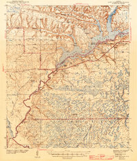
1943 Lake Talquin
Leon County, FL
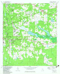
1954 Lafayette
Leon County, FL
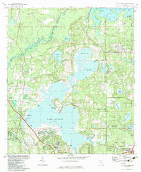
1963 Lake Jackson
Leon County, FL
1969 Hilliardville
Leon County, FL
1969 Lake Munson
Leon County, FL
1972 Lake Talquin
Leon County, FL
1972 Lake Talquin SE
Leon County, FL
1982 Lafayette
Leon County, FL
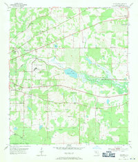
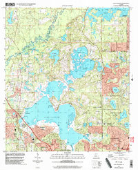
1982 Lake Jackson
Leon County, FL
1999 Lafayette
Leon County, FL
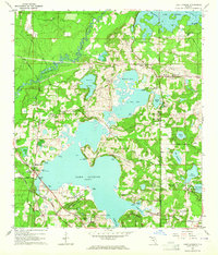
1999 Lake Jackson
Leon County, FL
1999 Lake Munson
Leon County, FL
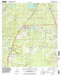
2024 Hilliardville
Leon County, FL
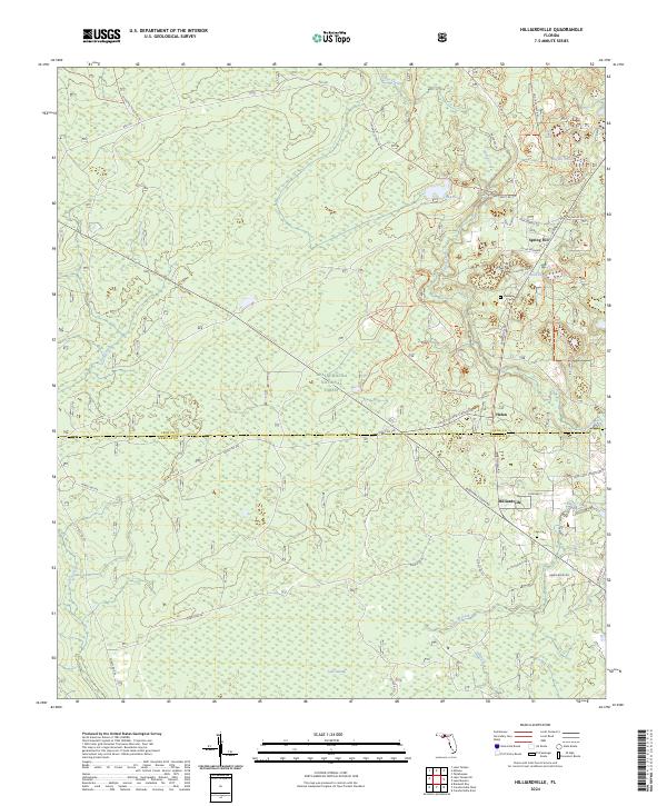
2024 Lafayette
Leon County, FL
2024 Lake Jackson
Leon County, FL
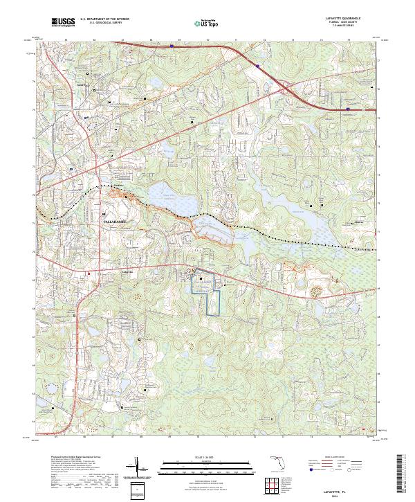
2024 Lake Munson
Leon County, FL
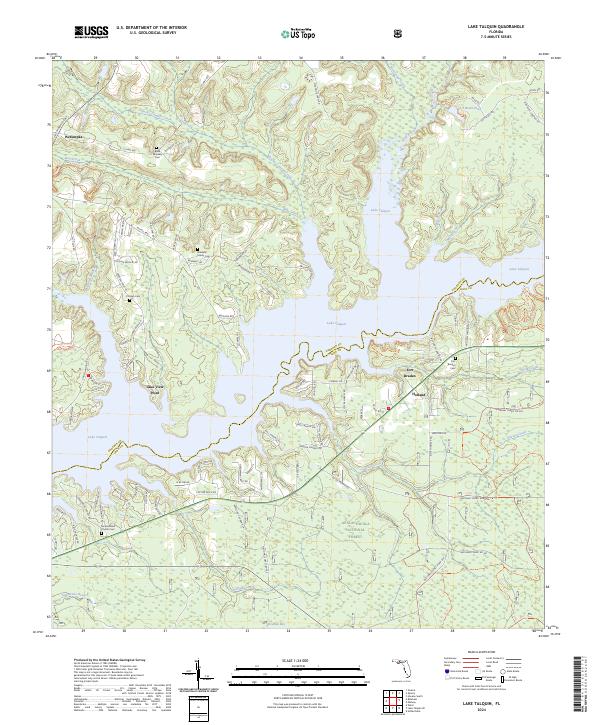
2024 Lake Talquin
Leon County, FL
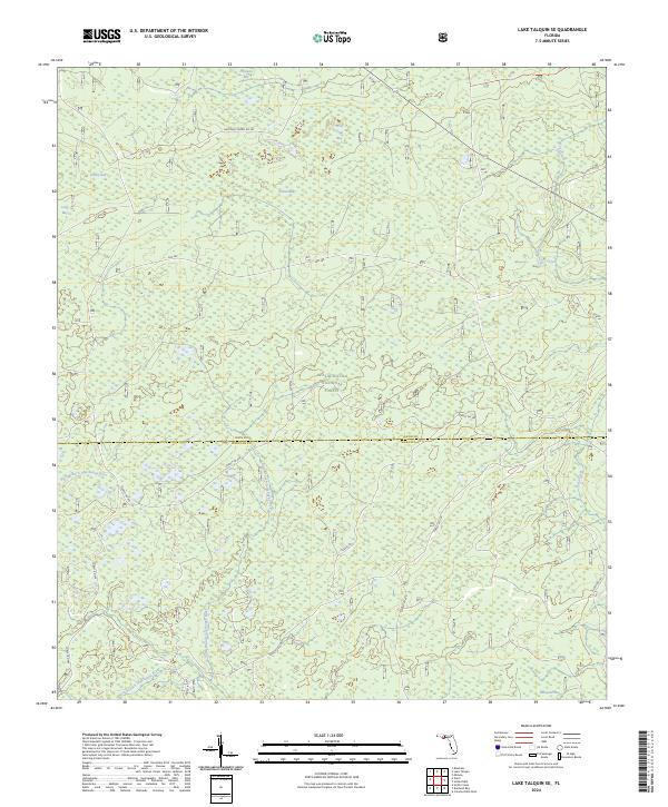
2024 Lake Talquin SE
Leon County, FL