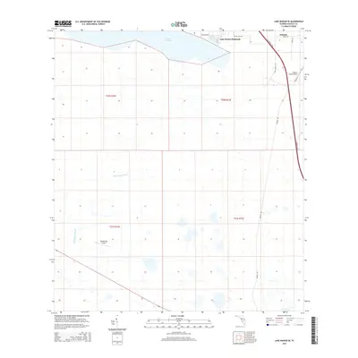
2015 Map of Lake Marian SE
USGS Topo · Published 2015About this map
Lake Marian anchors the northern boundary of this Osceola County landscape, where the residential community of Lake Marian Highlands meets the agricultural and transit corridors of central Florida. The settlement of Whittier sits in the northeast corner, positioned just east of the heavily trafficked Florida's Tpke. This 2015 data reflects a region defined by large-scale land management and specialized transport, evidenced by the presence of private airstrips like Flying S Ranch Airport and Blanket Bay Airport. South of the lake, the terrain transitions into the wetlands of Blanket Bay Slough, a significant hydrological feature that dictates the local geography. Long straightaways like Peavine Rd and Grant Bass Rd cut through the sections, illustrating the geometric grid of the Public Land Survey System that organizes this rural expanse.
Find a feature on this map
17 named features on this map. Tap any name to fly to it.
Don’t see what you’re looking for? This feature index may not catch every label — zoom into the map to look around manually.
Map Details
Editions of this 2015 Lake Marian SE Map
This is the sole edition of this map. No revisions or reprints were ever made.
Other maps of this area

1952 · Fort Kissimmee NW
USGS Topo · 1:24,000

1953 · Lake Marian NW
USGS Topo · 1:24,000

1953 · Fort Kissimmee NE
USGS Topo · 1:24,000

1953 · Lake Marian SE
USGS Topo · 1:24,000

1953 · Fort Drum NW
USGS Topo · 1:24,000

1953 · Kenansville SW
USGS Topo · 1:24,000

1953 · Lake Marian SW
USGS Topo · 1:24,000

1953 · Kenansville
USGS Topo · 1:24,000

1953 · Lake Marian NE
USGS Topo · 1:24,000

1956 · Fort Pierce
USGS Topo · 1:250,000