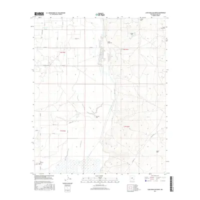
2017 Map of Lake McMillan North
USGS Topo · Published 2017About this map
The Old Lakewood Cem serves as a silent witness to early Eddy County history, located just off N Lake Rd in the southwestern portion of this landscape. The terrain is defined by the northward flow of the Pecos River, which is fed by drainage systems including Scoggin Draw, Chalk Bluff Draw, and Fourmile Draw. In the northwest, the Rio Peñasco cuts through the desert flats, emphasizing the vital role of water in this arid environment. A grid of local ranch and section roads such as Dayton Rd, E Kincaid Ranch Rd, and Netherlin Rd connect the various townships and ranges, illustrating the organized land use for ranching and agriculture. The presence of Chalk Bluff Spring near the eastern bluffs highlights a rare natural water source that would have been critical for both native inhabitants and early settlers in the Pecos Valley.
Find a feature on this map
28 named features on this map. Tap any name to fly to it.
Don’t see what you’re looking for? This feature index may not catch every label — zoom into the map to look around manually.
Map Details
Editions of this 2017 Lake McMillan North Map
This is the sole edition of this map. No revisions or reprints were ever made.
Other maps of this area

1943 · Oil City
USGS Topo · 1:62,500

1954 · Seven Rivers
USGS Topo · 1:24,000

1954 · Carlsbad
USGS Topo · 1:250,000

1955 · Artesia
USGS Topo · 1:24,000

1955 · Spring Lake
USGS Topo · 1:24,000

1955 · Dayton
USGS Topo · 1:24,000

1955 · Lake Mc Millan North
USGS Topo · 1:24,000

1955 · Lake Mc Millan South
USGS Topo · 1:24,000

1955 · Red Lake
USGS Topo · 1:24,000

1958 · Carlsbad
USGS Topo · 1:250,000