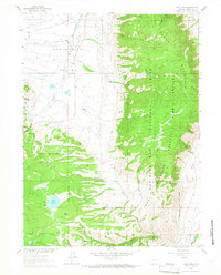
1961 Map of Lake Owen
USGS Topo · Published 1966About this map
Centennial Valley occupies the western expanse of this survey, transitioning abruptly into the steep elevations of Sheep Mountain. In the early 1960s, the landscape was defined by the intersection of high-country agriculture and conservation, where the Medicine Bow National Forest and the Sheep Mountain Federal Game Refuge meet. The historic Buckeye Sch sits in the valley floor, a marker of the rural education network that served ranching families in the shadow of Iron Mtn.
Find a feature on this map
24 named features on this map. Tap any name to fly to it.
Don’t see what you’re looking for? This feature index may not catch every label — zoom into the map to look around manually.
Map Details
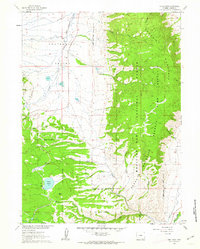
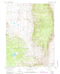
Editions of this 1961 Lake Owen Map
3 editions found
Other maps of this area

1895 · Laramie
USGS Topo · 1:125,000

1902 · Laramie
USGS Topo · 1:125,000

1905 · Laramie
USGS Topo · 1:125,000

1906 · Medicine Bow
USGS Topo · 1:125,000

1906 · Laramie
USGS Topo · 1:125,000

1908 · Laramie
USGS Topo · 1:125,000

1908 · Medicine Bow
USGS Topo · 1:125,000

1954 · Cheyenne
USGS Topo · 1:250,000

1954 · Rawlins
USGS Topo · 1:250,000

1958 · Rawlins
USGS Topo · 1:250,000