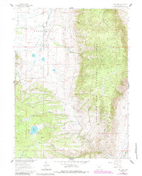
1961 Map of Lake Owen
USGS Topo · Published 1984About this map
Centennial Valley opens across the western half of this Wyoming landscape, providing a flat expanse for the Little Laramie River and its various forks. The valley floor contrasts sharply with the dramatic rise of Sheep Mountain to the east, which dominates the topography within the Medicine Bow National Forest. The presence of the Buckeye Sch and the Union Pacific railroad line indicates the intersection of rural education and major transportation infrastructure during this era.
Find a feature on this map
22 named features on this map. Tap any name to fly to it.
Don’t see what you’re looking for? This feature index may not catch every label — zoom into the map to look around manually.
Map Details
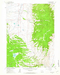
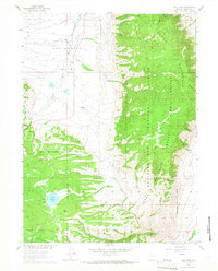
Editions of this 1961 Lake Owen Map
3 editions found
Other maps of this area

1895 · Laramie
USGS Topo · 1:125,000

1902 · Laramie
USGS Topo · 1:125,000

1905 · Laramie
USGS Topo · 1:125,000

1906 · Medicine Bow
USGS Topo · 1:125,000

1906 · Laramie
USGS Topo · 1:125,000

1908 · Laramie
USGS Topo · 1:125,000

1908 · Medicine Bow
USGS Topo · 1:125,000

1954 · Cheyenne
USGS Topo · 1:250,000

1954 · Rawlins
USGS Topo · 1:250,000

1958 · Rawlins
USGS Topo · 1:250,000