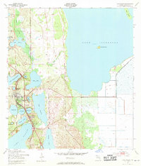
1952 Map of Lake Placid
USGS Topo · Published 1972About this map
The town of Lake Placid serves as the focal point of this 1950s interior Florida landscape, situated within a high density of named freshwater lakes and interconnected waterways. The geography is defined by significant bodies of water including the western reach of Lake Istokpoga, featuring Bumblebee Island and Big Island, alongside Lake June In Winter and the large southern Lake Placid. This era shows a community shaped by two major rail lines, the Atlantic Coast Line and the Seaboard Air Line, which cross near the town center. Local history and genealogy are anchored by features such as Oak Hill Cem and Highlands Park Cem, while smaller settlements like Southeast Lake Nellie and Sunvale mark the peripheral development. The map also details a network of levees and branches, such as Boggy Branch, illustrating the complex drainage and water management systems common to Highlands County.
Find a feature on this map
31 named features on this map. Tap any name to fly to it.
Don’t see what you’re looking for? This feature index may not catch every label — zoom into the map to look around manually.
Map Details
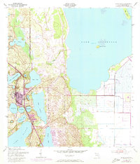
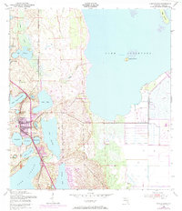
Editions of this 1952 Lake Placid Map
4 editions found
Other maps of this area

1952 · Lake Placid
USGS Topo · 1:24,000

1952 · Lorida
USGS Topo · 1:24,000

1952 · Sebring
USGS Topo · 1:24,000

1953 · Brighton NW
USGS Topo · 1:24,000

1953 · Lake June In Winter
USGS Topo · 1:24,000

1953 · Venus NW
USGS Topo · 1:24,000

1953 · Basinger SW
USGS Topo · 1:24,000

1953 · Basinger NW
USGS Topo · 1:24,000

1953 · Childs
USGS Topo · 1:24,000

1956 · Fort Pierce
USGS Topo · 1:250,000