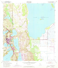
1952 Map of Lake Placid
USGS Topo · Published 1973About this map
The town of Lake Placid serves as the center of this 1950s landscape, positioned at the heart of the Florida Lake Region as the postwar era brought new infrastructure to Highlands County. The Seaboard Coast Line railroad runs vertically through the quadrangle, passing between several prominent water bodies including Lake June In Winter and Placid Lake. Significant land developments such as Highlands Park Estates and Sunvale appear along the shores of Lake Istokpoga, where the shoreline is punctuated by Bumblebee Island. Modern water management is evident in the south with the appearance of Canal C-41A and the Locks on Grassy Lake. Local heritage is anchored by the Oak Hill Cem and Highlands Park Cem, while the interior terrain is defined by numerous smaller basins like Lake McCoy and Mirror Lake.
Find a feature on this map
33 named features on this map. Tap any name to fly to it.
Don’t see what you’re looking for? This feature index may not catch every label — zoom into the map to look around manually.
Map Details
Editions of this 1952 Lake Placid Map
4 editions found
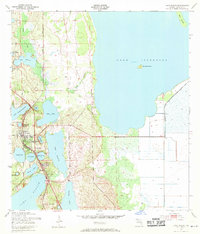
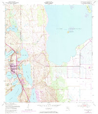
Other maps of this area

1952 · Lake Placid
USGS Topo · 1:24,000

1952 · Lorida
USGS Topo · 1:24,000

1952 · Sebring
USGS Topo · 1:24,000

1953 · Brighton NW
USGS Topo · 1:24,000

1953 · Lake June In Winter
USGS Topo · 1:24,000

1953 · Venus NW
USGS Topo · 1:24,000

1953 · Basinger SW
USGS Topo · 1:24,000

1953 · Basinger NW
USGS Topo · 1:24,000

1953 · Childs
USGS Topo · 1:24,000

1956 · Fort Pierce
USGS Topo · 1:250,000