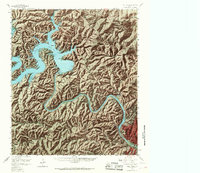
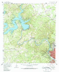
1959 Map of Lake Travis
USGS Topo · Published 1968About this map
Mansfield Dam stands as the central engineering marvel of this landscape, holding back the waters of Lake Travis where the Colorado River begins its winding descent toward Austin. The map reveals a mid-century Texas hill country in transition, where established rural outposts like Jonestown and Volente sit alongside burgeoning suburban developments such as West Lake Hills and Lakeland Hills. The Jollyville Plateau dominates the northeastern section, showing a network of ranch roads and small settlements like Pond Springs before the heavy expansion of the capital city reached this far north. Along the river's lower bends, the survey details significant public and military sites, including the Camp Mabry Military Res and Zilker Park. Notable local landmarks such as Mount Bonnell and Comanche Peak offer a sense of the area's elevation changes, while smaller details like the Pond Springs Sch and Graveyard Pt provide valuable touchpoints for genealogists tracing family roots in Travis County.
Find a feature on this map
69 named features on this map. Tap any name to fly to it.
Don’t see what you’re looking for? This feature index may not catch every label — zoom into the map to look around manually.
Map Details
Editions of this 1959 Lake Travis Map
5 editions found
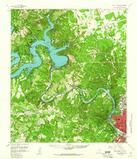
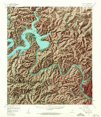
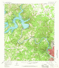
Other maps of this area

1887 · Blanco
USGS Topo · 1:125,000

1887 · Burnet
USGS Topo · 1:125,000

1893 · Georgetown
USGS Topo · 1:125,000

1893 · Burnet
USGS Topo · 1:125,000

1894 · Blanco
USGS Topo · 1:125,000

1896 · Austin
USGS Topo · 1:125,000

1897 · Austin
USGS Topo · 1:125,000

1903 · Burnet
USGS Topo · 1:125,000

1909 · Burnet
USGS Topo · 1:125,000

1910 · Austin
USGS Topo · 1:125,000