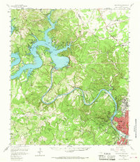
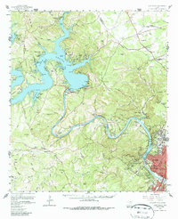
1959 Map of Lake Travis
USGS Topo · Published 1968About this map
Lake Travis and the winding course of the Colorado River dominate this Central Texas landscape, captured in a period of significant growth and water management. The massive Mansfield Dam holds back the waters of the upper lake, while downstream, the Tom Miller Dam regulates Lake Austin as it flows toward the city. The capital city of Austin is visible in the southeastern corner, with its northwestern expansion reaching toward the Jollyville Plateau.
Find a feature on this map
102 named features on this map. Tap any name to fly to it.
Don’t see what you’re looking for? This feature index may not catch every label — zoom into the map to look around manually.
Map Details
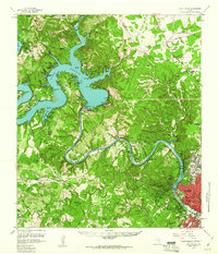
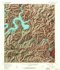
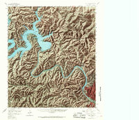
Editions of this 1959 Lake Travis Map
5 editions found
Other maps of this area

1887 · Blanco
USGS Topo · 1:125,000

1887 · Burnet
USGS Topo · 1:125,000

1893 · Georgetown
USGS Topo · 1:125,000

1893 · Burnet
USGS Topo · 1:125,000

1894 · Blanco
USGS Topo · 1:125,000

1896 · Austin
USGS Topo · 1:125,000

1897 · Austin
USGS Topo · 1:125,000

1903 · Burnet
USGS Topo · 1:125,000

1909 · Burnet
USGS Topo · 1:125,000

1910 · Austin
USGS Topo · 1:125,000