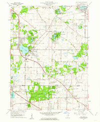
1960 Map of Lake Zurich
USGS Topo · Published 1962About this map
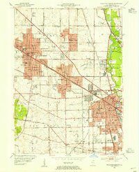
Lake Zurich serves as a central hub in this early 1960s snapshot of southeastern Lake County, Illinois. The landscape is a complex mix of mid-century suburban expansion and established rural landmarks, characterized by the convergence of the Elgin Joliet and Eastern RR and the Chicago and North Western RR. Local history is preserved in sites like the Mt St Joseph Childrens Home and small local schools including Diamond Lake Sch and Countryside Sch. To the south, the Deer Grove Forest Preserve and its Camp Reinberg provide significant green space near the Cook County line. Unique period features such as a Drive-in Theater and the U S Military Reservation illustrate the era's land use before later development completely filled the gaps between Kildeer, Long Grove, and Deer Park.
Find a feature on this map
70 named features on this map. Tap any name to fly to it.
Don’t see what you’re looking for? This feature index may not catch every label — zoom into the map to look around manually.
Map Details
Editions of this 1960 Lake Zurich Map
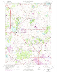
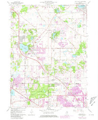
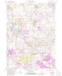
4 editions found
Other maps of this area

1900 · Highwood
USGS Topo · 1:62,500

1906 · Waukegan
USGS Topo · 1:62,500

1908 · Waukegan
USGS Topo · 1:62,500

1920 · Grays Lake
USGS Topo · 1:62,500

1923 · Grays Lake
USGS Topo · 1:62,500

1923 · Barrington
USGS Topo · 1:62,500

1927 · Arlington Heights
USGS Topo · 1:24,000

1928 · Wheeling
USGS Topo · 1:24,000

1935 · Barrington
USGS Topo · 1:62,500
1953 · Arlington Heights
USGS Topo · 1:24,000