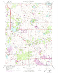
1960 Map of Lake Zurich
USGS Topo · Published 1973About this map
Lake Zurich sits at the heart of this suburbanizing landscape in the early 1960s, a period marked by residential expansion into the wooded areas of Ela Village. The map reveals a transition from traditional institutional grounds, such as the Mt St Joseph Childrens Home and the Boy Scout Camp, to modern recreational and civic infrastructure including a drive-in theater and a sewage disposal site. Natural features like Echo Lake, Forest Lake, and Sylvan Lake are surrounded by developing subdivisions, while the large Deer Grove Forest Preserve protects a significant tract of land south of the Lake and Cook County line. Transportation patterns are defined by the Chicago and North Western railroad and the Joliet and Elgin Road, which connect established settlements like Barrington and Palatine to newer developments at Quentin Corners and Kildeer.
Find a feature on this map
57 named features on this map. Tap any name to fly to it.
Don’t see what you’re looking for? This feature index may not catch every label — zoom into the map to look around manually.
Map Details
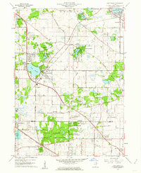
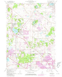
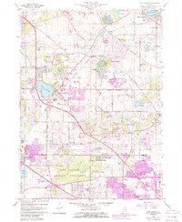
Editions of this 1960 Lake Zurich Map
4 editions found
Other maps of this area

1900 · Highwood
USGS Topo · 1:62,500

1906 · Waukegan
USGS Topo · 1:62,500

1908 · Waukegan
USGS Topo · 1:62,500

1920 · Grays Lake
USGS Topo · 1:62,500

1923 · Grays Lake
USGS Topo · 1:62,500

1923 · Barrington
USGS Topo · 1:62,500

1927 · Arlington Heights
USGS Topo · 1:24,000

1928 · Wheeling
USGS Topo · 1:24,000

1935 · Barrington
USGS Topo · 1:62,500
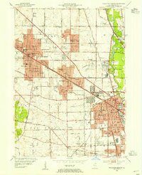
1953 · Arlington Heights
USGS Topo · 1:24,000