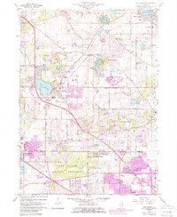
1960 Map of Lake Zurich
USGS Topo · Published 1989About this map
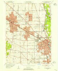
Lake Zurich sits at the heart of this landscape, surrounded by an evolving network of suburban residential developments and preserved woodland. Originally surveyed in 1958 and photorevised through the late 1970s, the map captures the expansion of communities like Hawthorn Woods, Kildeer, and Deer Park into former agricultural lands. Significant infrastructure such as the Elgin Joliet and Eastern and Chicago and North Western railroads anchor the local economy, while the Deer Grove Forest Preserve marks a commitment to open space in northern Illinois.
Find a feature on this map
62 named features on this map. Tap any name to fly to it.
Don’t see what you’re looking for? This feature index may not catch every label — zoom into the map to look around manually.
Map Details
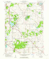
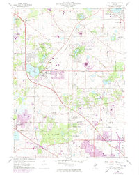
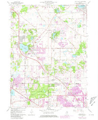
Editions of this 1960 Lake Zurich Map
4 editions found
Other maps of this area

1900 · Highwood
USGS Topo · 1:62,500

1906 · Waukegan
USGS Topo · 1:62,500

1908 · Waukegan
USGS Topo · 1:62,500

1920 · Grays Lake
USGS Topo · 1:62,500

1923 · Grays Lake
USGS Topo · 1:62,500

1923 · Barrington
USGS Topo · 1:62,500

1927 · Arlington Heights
USGS Topo · 1:24,000

1928 · Wheeling
USGS Topo · 1:24,000

1935 · Barrington
USGS Topo · 1:62,500
1953 · Arlington Heights
USGS Topo · 1:24,000