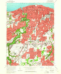
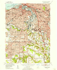
1963 Map of Lakewood
USGS Topo · Published 1964About this map
Lake Erie defines the northern edge of this suburban landscape, where the deeply carved Rocky River valley creates a dramatic green corridor through the dense residential grids of Lakewood and Rocky River. The 1963 survey captures the area during a period of significant post-war infrastructure, featuring the sprawling Cleveland Hopkins Airport and the massive Cleveland Ordnance Plant in the south. These industrial and transportation hubs contrast with the recreational spaces of the Rocky River Reservation and Edgewater Park.
Find a feature on this map
135 named features on this map. Tap any name to fly to it.
Don’t see what you’re looking for? This feature index may not catch every label — zoom into the map to look around manually.
Map Details
Editions of this 1963 Lakewood Map
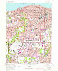
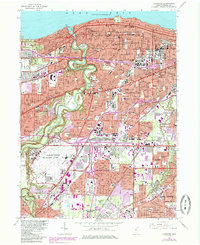
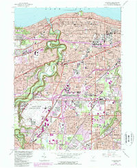
4 editions found
Other maps of this area

1901 · Euclid
USGS Topo · 1:62,500

1902 · Berea
USGS Topo · 1:62,500

1903 · Cleveland
USGS Topo · 1:62,500

1903 · Euclid
USGS Topo · 1:62,500

1904 · Berea
USGS Topo · 1:62,500

1950 · Cleveland
USGS Topo · 1:250,000

1953 · West View
USGS Topo · 1:24,000

1953 · Broadview Heights
USGS Topo · 1:24,000

1953 · Berea
USGS Topo · 1:24,000
1953 · Cleveland South
USGS Topo · 1:24,000