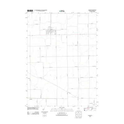
2012 Map of Lanark
USGS Topo · Published 2012About this map
Lanark serves as the primary hub of this Illinois landscape, situated at the intersection of local routes and featuring a dense grid of streets like E Pearl St and W Dame St. The settlement is anchored by central community markers including the Po and the Lanark City Cem on its southern edge. Outside the town, the land is defined by a geometric network of section roads and the winding paths of Straddle Cr, Rock Cr, and Otter Cr. These waterways cut through the prairie, often crossed by rural thoroughfares such as Telegraph Rd and Brookville Rd. For genealogists, the map preserves the locations of rural burying grounds like the Chadwick Methodist Cem and Union Cem, offering a precise spatial record of the township's 21st-century rural development and historical road alignments.
Find a feature on this map
43 named features on this map. Tap any name to fly to it.
Don’t see what you’re looking for? This feature index may not catch every label — zoom into the map to look around manually.
Map Details
Editions of this 2012 Lanark Map
This is the sole edition of this map. No revisions or reprints were ever made.
Other maps of this area

1930 · Woodsung
USGS Topo · 1:48,000

1934 · Morrison
USGS Topo · 1:48,000

1940 · Morrison
USGS Topo · 1:62,500

1942 · Mt Carroll
USGS Topo · 1:62,500

1942 · Forreston
USGS Topo · 1:62,500

1944 · Mt Carroll
USGS Topo · 1:62,500

1945 · Forreston
USGS Topo · 1:62,500

1946 · Sterling
USGS Topo · 1:62,500

1948 · Sterling
USGS Topo · 1:62,500

1954 · Rockford
USGS Topo · 1:250,000