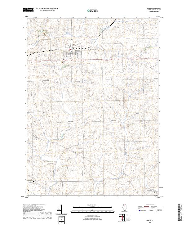
2024 Map of Lanark
USGS Topo · Published 2024About this map
Lanark serves as the primary hub of this Carroll County landscape, defined by a grid of agricultural roads and the meandering paths of Straddle Creek and Rock Creek. The layout of the town is remarkably consistent, with residential streets like W Carroll St and S Broad St centering around the Lanark City Cem. Beyond the municipal borders, the terrain transitions into a patchwork of rural holdings accessed by historically named thoroughfares such as Telegraph Rd and Stone Bridge Rd. The southern portion of the map reveals a quieter, more remote character, where Otter Creek winds through the hills near Chadwick Cem and Union Cem. This 2024 data showcases a landscape that has maintained its agrarian roots, with farmstead access points like Cyclone Ridge Rd and Pioneer Rd still defining the local geography.
Find a feature on this map
44 named features on this map. Tap any name to fly to it.
Don’t see what you’re looking for? This feature index may not catch every label — zoom into the map to look around manually.
Map Details
Editions of this 2024 Lanark Map
This is the sole edition of this map. No revisions or reprints were ever made.
Other maps of this area

1930 · Woodsung
USGS Topo · 1:48,000

1934 · Morrison
USGS Topo · 1:48,000

1940 · Morrison
USGS Topo · 1:62,500

1942 · Mt Carroll
USGS Topo · 1:62,500

1942 · Forreston
USGS Topo · 1:62,500

1944 · Mt Carroll
USGS Topo · 1:62,500

1945 · Forreston
USGS Topo · 1:62,500

1946 · Sterling
USGS Topo · 1:62,500

1948 · Sterling
USGS Topo · 1:62,500

1954 · Rockford
USGS Topo · 1:250,000