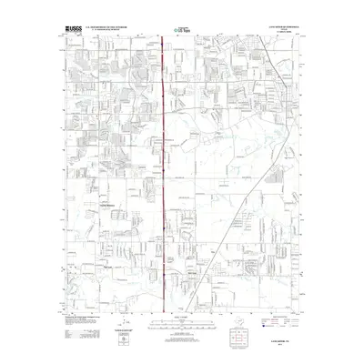
2012 Map of Lancaster
USGS Topo · Published 2012About this map
Red Oak and Glenn Heights anchor this 2012 survey, illustrating the modern residential expansion south of Dallas. The landscape is defined by a dense network of suburban streets and major thoroughfares, most notably the central corridor of Interstate 35, which bisects the quadrangle. Interspersed among these developments are pockets of local heritage, including several small burial grounds such as Rawlins Cem, Red Oak Cem, and Vincent Cem.
Find a feature on this map
43 named features on this map. Tap any name to fly to it.
Don’t see what you’re looking for? This feature index may not catch every label — zoom into the map to look around manually.
Map Details
Editions of this 2012 Lancaster Map
This is the sole edition of this map. No revisions or reprints were ever made.
Other maps of this area

1891 · Dallas
USGS Topo · 1:125,000

1893 · Dallas
USGS Topo · 1:125,000

1954 · Dallas
USGS Topo · 1:250,000

1956 · Ennis
USGS Topo · 1:62,500

1958 · Dallas
USGS Topo · 1:250,000

1958 · Hutchins
USGS Topo · 1:24,000

1958 · Oak Cliff
USGS Topo · 1:24,000

1959 · Lancaster
USGS Topo · 1:24,000

1959 · Cedar Hill
USGS Topo · 1:24,000

1959 · Ferris
USGS Topo · 1:24,000