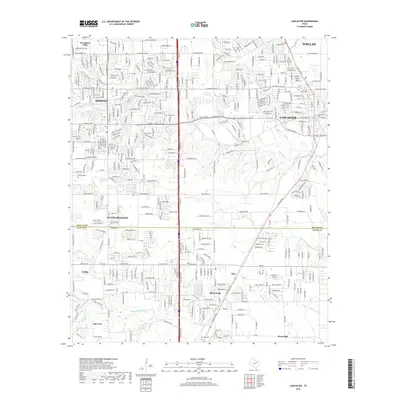
2019 Map of Lancaster
USGS Topo · Published 2019About this map
The suburban expansion south of Dallas is clearly defined in this study of the Interstate 35 corridor during the late 2010s. The landscape is dominated by the established communities of Lancaster and DeSoto, where a dense network of residential streets and arterial roads like W Belt Line Rd intersects the natural drainage of Tenmile Cr and its tributaries. To the south, the transition into Ellis County is marked by the growing municipalities of Glenn Heights and Red Oak, where newer subdivisions begin to replace open farmland.
Find a feature on this map
392 named features on this map. Tap any name to fly to it.
Don’t see what you’re looking for? This feature index may not catch every label — zoom into the map to look around manually.
Map Details
Editions of this 2019 Lancaster Map
This is the sole edition of this map. No revisions or reprints were ever made.
Other maps of this area

1891 · Dallas
USGS Topo · 1:125,000

1893 · Dallas
USGS Topo · 1:125,000

1954 · Dallas
USGS Topo · 1:250,000

1956 · Ennis
USGS Topo · 1:62,500

1958 · Dallas
USGS Topo · 1:250,000

1958 · Hutchins
USGS Topo · 1:24,000

1958 · Oak Cliff
USGS Topo · 1:24,000

1959 · Lancaster
USGS Topo · 1:24,000

1959 · Cedar Hill
USGS Topo · 1:24,000

1959 · Ferris
USGS Topo · 1:24,000