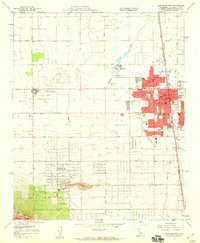
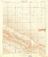
1958 Map of Lancaster West
USGS Topo · Published 1959About this map
Lancaster anchors this 1950s Antelope Valley landscape, appearing as a growing desert hub defined by a strict grid of avenues and the Southern Pacific railroad corridor. The town's expansion is evident through its numerous local campuses, including Desert View Sch, Monte Vista Sch, and Joshua Sch, which sit near the District Fairgrounds and Mays Field. To the southwest, the community of Quartz Hill rises above the valley floor, centered around its own Quartz Hill Sch and the nearby Quartz Hill Airport.
Find a feature on this map
48 named features on this map. Tap any name to fly to it.
Don’t see what you’re looking for? This feature index may not catch every label — zoom into the map to look around manually.
Map Details
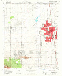
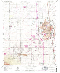
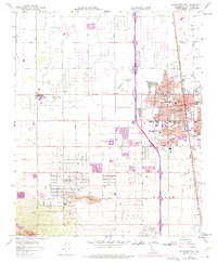
Editions of this 1958 Lancaster West Map
4 editions found
Other maps of this area

1915 · Elizabeth Lake
USGS Topo · 1:125,000

1917 · Elizabeth Lake
USGS Topo · 1:125,000

1930 · Oban
USGS Topo · 1:24,000

1930 · Lancaster
USGS Topo · 1:24,000

1931 · Del Sur
USGS Topo · 1:24,000

1931 · Esperanza School
USGS Topo · 1:24,000

1933 · Lancaster
USGS Topo · 1:24,000

1933 · Oban
USGS Topo · 1:24,000

1934 · Esperanza School
USGS Topo · 1:24,000
1936 · Del Sur
USGS Topo · 1:24,000