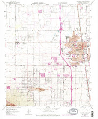
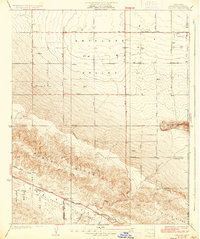
1958 Map of Lancaster West
USGS Topo · Published 1975About this map
Lancaster and the surrounding Antelope Valley plateau are captured here during a period of rapid mid-century expansion. The grid of alphabetical and numbered streets, including Avenue J and Avenue K, organizes a landscape transitioning from open high-desert terrain to suburban and industrial development. The Southern Pacific rail line and the Sierra Highway serve as the primary north-south conduits for the region's growth, linking established residential blocks with newer institutional additions like the Antelope Valley College.
Find a feature on this map
35 named features on this map. Tap any name to fly to it.
Don’t see what you’re looking for? This feature index may not catch every label — zoom into the map to look around manually.
Map Details
Editions of this 1958 Lancaster West Map
4 editions found
Other maps of this area

1915 · Elizabeth Lake
USGS Topo · 1:125,000

1917 · Elizabeth Lake
USGS Topo · 1:125,000

1930 · Oban
USGS Topo · 1:24,000

1930 · Lancaster
USGS Topo · 1:24,000

1931 · Del Sur
USGS Topo · 1:24,000

1931 · Esperanza School
USGS Topo · 1:24,000

1933 · Lancaster
USGS Topo · 1:24,000

1933 · Oban
USGS Topo · 1:24,000

1934 · Esperanza School
USGS Topo · 1:24,000
1936 · Del Sur
USGS Topo · 1:24,000