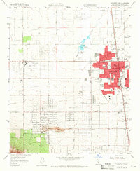
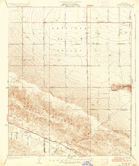
1958 Map of Lancaster West
USGS Topo · Published 1966About this map
Lancaster serves as the focal point of this Antelope Valley survey, showing the community's mid-century expansion along the Southern Pacific tracks and the Sierra Highway. The residential core is well-defined, supporting a network of local education facilities like Monte Vista Sch and Desert View Sch. To the southwest, the smaller settlement of Quartz Hill sits near its namesake peak and the Quartz Hill Airport, with several Quarries marking the local extractive industry.
Find a feature on this map
48 named features on this map. Tap any name to fly to it.
Don’t see what you’re looking for? This feature index may not catch every label — zoom into the map to look around manually.
Map Details
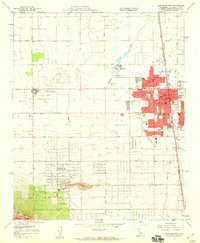
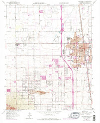
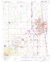
Editions of this 1958 Lancaster West Map
4 editions found
Other maps of this area

1915 · Elizabeth Lake
USGS Topo · 1:125,000

1917 · Elizabeth Lake
USGS Topo · 1:125,000

1930 · Oban
USGS Topo · 1:24,000

1930 · Lancaster
USGS Topo · 1:24,000

1931 · Del Sur
USGS Topo · 1:24,000

1931 · Esperanza School
USGS Topo · 1:24,000

1933 · Lancaster
USGS Topo · 1:24,000

1933 · Oban
USGS Topo · 1:24,000

1934 · Esperanza School
USGS Topo · 1:24,000
1936 · Del Sur
USGS Topo · 1:24,000