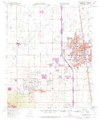
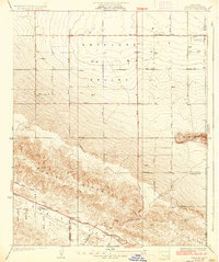
1958 Map of Lancaster West
USGS Topo · Published 1975About this map
Quartz Hill anchors the southwestern portion of this Antelope Valley landscape, where residential development begins to transition into industrial and institutional use. The Mira Loma Detention Facility and General William J. Fox Airfield occupy significant tracts of land to the north and west, while the burgeoning city of Lancaster dominates the eastern margin. This map documents a period of rapid suburbanization, evidenced by the proliferation of neighborhood institutions such as Monte Vista Sch, Sunnydale Sch, and the Antelope Valley College campus.
Find a feature on this map
38 named features on this map. Tap any name to fly to it.
Don’t see what you’re looking for? This feature index may not catch every label — zoom into the map to look around manually.
Map Details
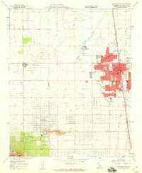
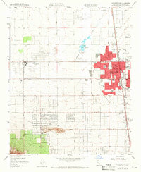
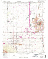
Editions of this 1958 Lancaster West Map
4 editions found
Other maps of this area

1915 · Elizabeth Lake
USGS Topo · 1:125,000

1917 · Elizabeth Lake
USGS Topo · 1:125,000

1930 · Oban
USGS Topo · 1:24,000

1930 · Lancaster
USGS Topo · 1:24,000

1931 · Del Sur
USGS Topo · 1:24,000

1931 · Esperanza School
USGS Topo · 1:24,000

1933 · Lancaster
USGS Topo · 1:24,000

1933 · Oban
USGS Topo · 1:24,000

1934 · Esperanza School
USGS Topo · 1:24,000
1936 · Del Sur
USGS Topo · 1:24,000