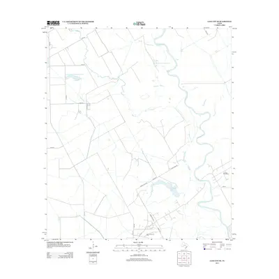
2013 Map of Lane City SE
USGS Topo · Published 2013About this map
The Colorado River meanders through this Matagorda County landscape, defining the local hydrology alongside several smaller water bodies and significant industrial sites. Industrial history is evident through the presence of the North Bay City Oil Field and the North Markham Oil Field, indicating the importance of energy extraction in the region during the early twenty-first century. The terrain is crisscrossed by a network of rural roads including Poole Rd, Tommy Letulle Rd, and Murphy Rd, which connect the scattered agricultural and industrial operations. Water management for the surrounding plains is further highlighted by the Pierce Canal, while natural features like Jennings Lake and Neal Lake provide distinct landmarks along the river's path and the winding course of Blue Cr.
Find a feature on this map
22 named features on this map. Tap any name to fly to it.
Don’t see what you’re looking for? This feature index may not catch every label — zoom into the map to look around manually.
Map Details
Editions of this 2013 Lane City SE Map
This is the sole edition of this map. No revisions or reprints were ever made.
Other maps of this area

1950 · Houston
USGS Topo · 1:250,000

1951 · Bay City
USGS Topo · 1:250,000

1951 · Danevang
USGS Topo · 1:24,000

1952 · Lane City SE
USGS Topo · 1:24,000

1952 · Pledger
USGS Topo · 1:24,000

1952 · Bay City
USGS Topo · 1:24,000

1952 · Markham
USGS Topo · 1:24,000

1952 · Lane City
USGS Topo · 1:24,000

1952 · Van Vleck
USGS Topo · 1:24,000

1952 · Midfield
USGS Topo · 1:24,000