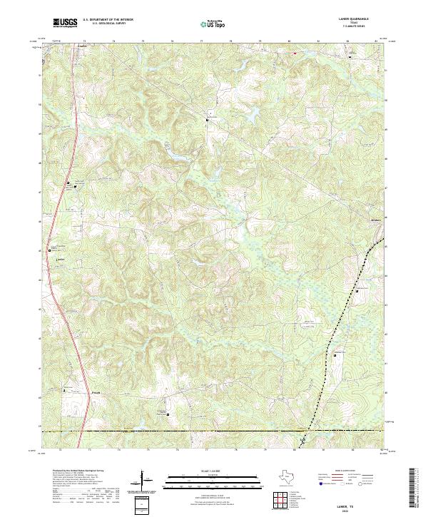
2022 Map of Lanier
USGS Topo · Published 2022About this map
The boundary between Cass and Marion Counties defines the southern edge of this East Texas landscape, where the headwaters of Jim Bayou weave through a network of small tributaries. This modern survey illustrates the persistent rural character of the region, anchored by established settlements like Lanier and Kildare. The terrain is shaped by the presence of Iron Ore Lake and Hall Lake Number 2, reflecting the area's geological and hydrological patterns that have long influenced local land use.
Find a feature on this map
83 named features on this map. Tap any name to fly to it.
Don’t see what you’re looking for? This feature index may not catch every label — zoom into the map to look around manually.
Map Details
Editions of this 2022 Lanier Map
This is the sole edition of this map. No revisions or reprints were ever made.
Other maps of this area

1907 · Atlanta
USGS Topo · 1:62,500

1910 · Linden
USGS Topo · 1:62,500

1910 · Atlanta
USGS Topo · 1:62,500

1944 · Kildare
USGS Topo · 1:62,500

1948 · Kildare
USGS Topo · 1:62,500

1953 · Texarkana
USGS Topo · 1:250,000

1956 · Texarkana
USGS Topo · 1:250,000

1956 · Tyler
USGS Topo · 1:250,000

1961 · Cunningham Creek
USGS Topo · 1:24,000

1962 · Kellyville
USGS Topo · 1:24,000