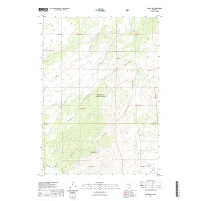
2021 Map of Laramie Peak
USGS Topo · Published 2021About this map
Laramie Peak dominates the southern reaches of this landscape within the Medicine Bow National Forest, serving as a primary landmark for the surrounding drainage systems. The terrain is defined by a network of creeks and trails that illustrate the high-country transit patterns between Converse Co and Albany Co. Major waterways like Horseshoe Cr and the Roaring Fork carve through the mountain slopes, while established routes such as Ashenfelder Creek Trl and Laramie Peak Trl provide access to the interior. Historically significant open spaces like Kenyon Park and the gathering area at Cottonwood Park indicate how this corner of Wyoming has been utilized for both transit and recreation. The map meticulously details the ascent to prominent summits, including Squaw Peaks and Haystack Peaks, offering a clear view of the wilderness geography as it stood in the early twenty-first century.
Find a feature on this map
37 named features on this map. Tap any name to fly to it.
Don’t see what you’re looking for? This feature index may not catch every label — zoom into the map to look around manually.
Map Details
Editions of this 2021 Laramie Peak Map
This is the sole edition of this map. No revisions or reprints were ever made.
Other maps of this area

1943 · Esterbrook
USGS Topo · 1:62,500

1945 · Esterbrook
USGS Topo · 1:62,500

1954 · Torrington
USGS Topo · 1:250,000

1958 · Torrington
USGS Topo · 1:250,000

1964 · Saddleback Mountain
USGS Topo · 1:24,000

1964 · Windy Peak
USGS Topo · 1:24,000

1968 · Cow Creek Mountain
USGS Topo · 1:24,000
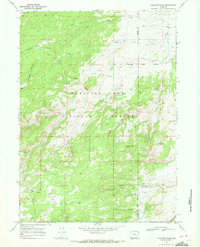
1968 · Fletcher Park
USGS Topo · 1:24,000
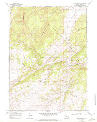
1968 · South Mountain
USGS Topo · 1:24,000
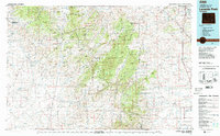
1981 · Laramie Peak
USGS Topo · 1:100,000