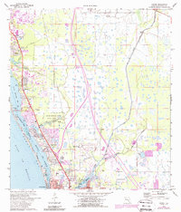
1973 Map of Laurel
USGS Topo · Published 1988About this map
The coastal corridor of Sarasota County is defined here by the transit routes of the Seaboard Coast Line railroad and the Tamiami Trail, which anchor the development of communities like Osprey, Laurel, and Nokomis. The map documents a period of significant residential expansion, evidenced by numerous trailer parks and the proximity of the Mission Valley Country Club. To the west, the Intracoastal Waterway threads through Little Sarasota Bay, Dryman Bay, and Blackburn Bay, separating the mainland from Casey Key and its Nokomis Beach. Inward from the coast, the preservation of Oscar Scherer State Park stands in contrast to the engineered drainage of Cow Pen Slough and the working sandpits, illustrating the evolving land use between environmental conservation and the region's growing infrastructure.
Find a feature on this map
35 named features on this map. Tap any name to fly to it.
Don’t see what you’re looking for? This feature index may not catch every label — zoom into the map to look around manually.
Map Details
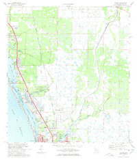
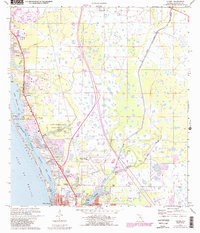
Editions of this 1973 Laurel Map
3 editions found
Other maps of this area

1943 · Laurel
USGS Topo · 1:24,000

1944 · Bird Keys
USGS Topo · 1:31,680

1944 · Sarasota
USGS Topo · 1:31,680

1944 · Lower Myakka Lake
USGS Topo · 1:31,680

1944 · Myakka River
USGS Topo · 1:31,680

1944 · Laurel
USGS Topo · 1:31,680

1944 · Venice
USGS Topo · 1:31,680

1944 · Miakka
USGS Topo · 1:31,680

1947 · Bee Ridge
USGS Topo · 1:24,000

1956 · Tampa
USGS Topo · 1:250,000