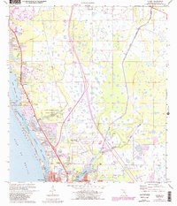
1973 Map of Laurel
USGS Topo · Published 1988About this map
The coastal corridor of Sarasota County in the early 1970s is defined by the parallel paths of the Intracoastal Waterway and the Seaboard Coast Line railroad. This survey captures the rapid development of communities like Osprey, Laurel, and Nokomis, where numerous trailer parks and golf courses began to characterize the shoreline landscape. The transition from the dense residential grid at Vamo to the preserved lands of Oscar Scherer State Park along South Creek illustrates the tension between postwar expansion and environmental conservation.
Find a feature on this map
40 named features on this map. Tap any name to fly to it.
Don’t see what you’re looking for? This feature index may not catch every label — zoom into the map to look around manually.
Map Details
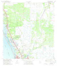
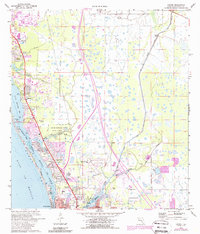
Editions of this 1973 Laurel Map
3 editions found
Other maps of this area

1943 · Laurel
USGS Topo · 1:24,000

1944 · Bird Keys
USGS Topo · 1:31,680

1944 · Sarasota
USGS Topo · 1:31,680

1944 · Lower Myakka Lake
USGS Topo · 1:31,680

1944 · Myakka River
USGS Topo · 1:31,680

1944 · Laurel
USGS Topo · 1:31,680

1944 · Venice
USGS Topo · 1:31,680

1944 · Miakka
USGS Topo · 1:31,680

1947 · Bee Ridge
USGS Topo · 1:24,000

1956 · Tampa
USGS Topo · 1:250,000