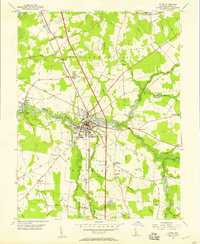
1955 Map of Laurel
USGS Topo · Published 1957About this map
Laurel serves as the focal point of this Sussex County landscape, where the Pennsylvania railroad corridor meets the winding waters of Broad Creek. The town’s industrial and social infrastructure is well-defined, including the Odd Fellows Cemetery, the Radio Sta (WSUX), and the Laurel Airport. To the east and west, the terrain is shaped by an extensive network of drainage ditches and mill ponds, such as Records Pond and Chipman Pond, which reflect the historic reliance on local waterways for both commerce and land management.
Find a feature on this map
54 named features on this map. Tap any name to fly to it.
Don’t see what you’re looking for? This feature index may not catch every label — zoom into the map to look around manually.
Map Details
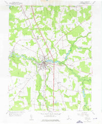
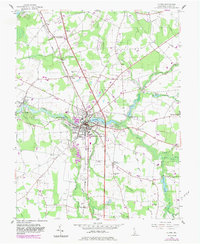
Editions of this 1955 Laurel Map
3 editions found
Other maps of this area

1901 · Salisbury
USGS Topo · 1:62,500

1902 · Pittsville
USGS Topo · 1:62,500

1915 · Seaford
USGS Topo · 1:62,500

1917 · Millsboro
USGS Topo · 1:62,500

1938 · Millsboro
USGS Topo · 1:62,500

1942 · Hebron
USGS Topo · 1:24,000

1942 · Delmar
USGS Topo · 1:24,000

1942 · Pittsville
USGS Topo · 1:24,000
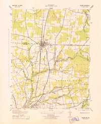
1943 · Delmar
USGS Topo · 1:31,680

1943 · Hebron
USGS Topo · 1:31,680