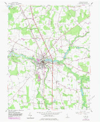
1955 Map of Laurel
USGS Topo · Published 1983About this map
The town of Laurel serves as the central hub of this Sussex County landscape, where the Conrail line intersects with a sophisticated network of millponds and ditches. The geography is defined by the flow of Broad Creek, which feeds into Records Pond at the heart of the settlement. Beyond the town center, the map documents a transition toward rural agricultural life and religious gathering points, including the historic Old Christ Ch and Delmarva Camp.
Find a feature on this map
54 named features on this map. Tap any name to fly to it.
Don’t see what you’re looking for? This feature index may not catch every label — zoom into the map to look around manually.
Map Details
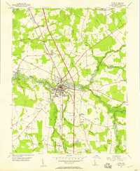
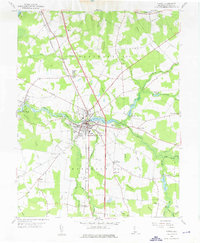
Editions of this 1955 Laurel Map
3 editions found
Other maps of this area

1901 · Salisbury
USGS Topo · 1:62,500

1902 · Pittsville
USGS Topo · 1:62,500

1915 · Seaford
USGS Topo · 1:62,500

1917 · Millsboro
USGS Topo · 1:62,500

1938 · Millsboro
USGS Topo · 1:62,500

1942 · Hebron
USGS Topo · 1:24,000

1942 · Delmar
USGS Topo · 1:24,000

1942 · Pittsville
USGS Topo · 1:24,000
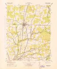
1943 · Delmar
USGS Topo · 1:31,680

1943 · Hebron
USGS Topo · 1:31,680