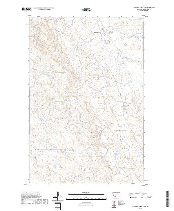
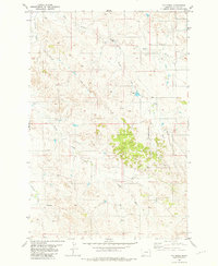
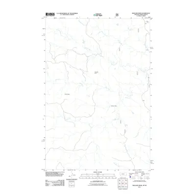
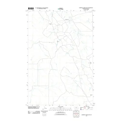
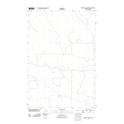
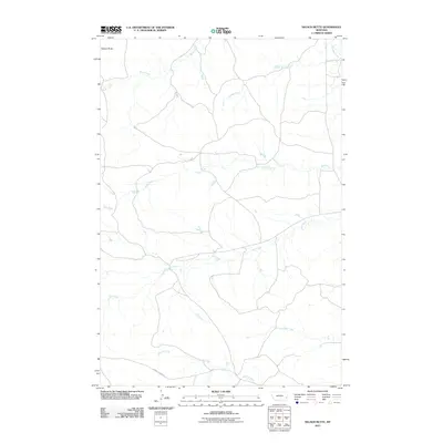
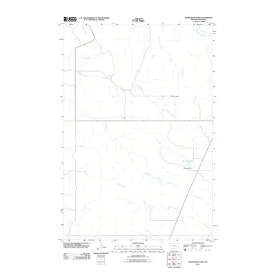
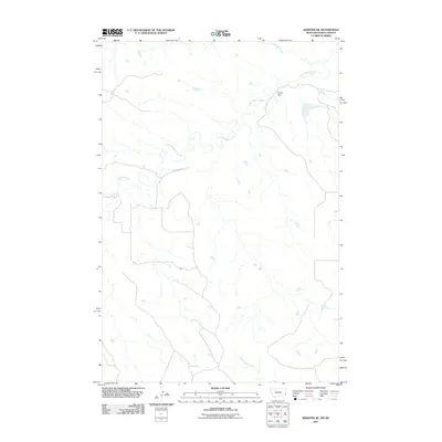
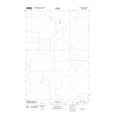
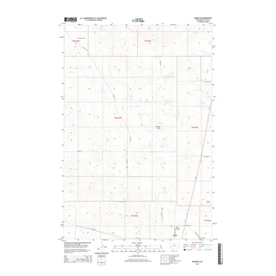
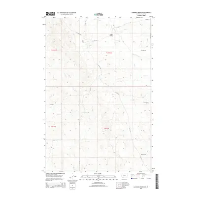
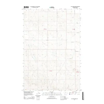
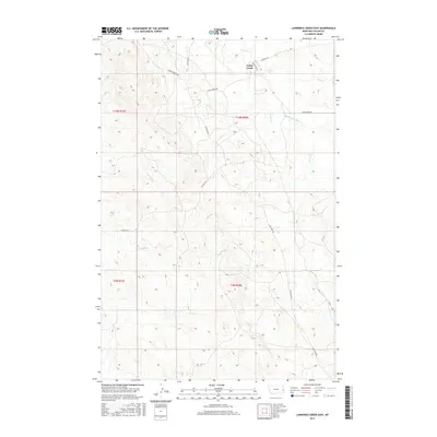
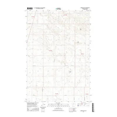
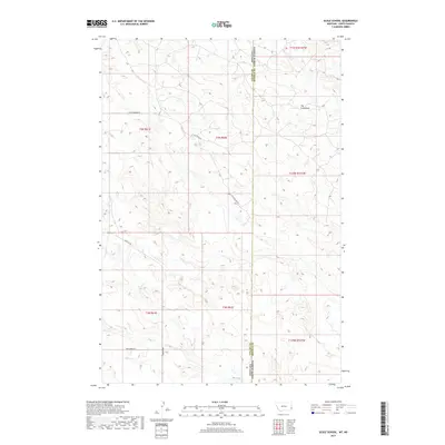
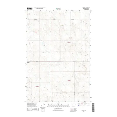
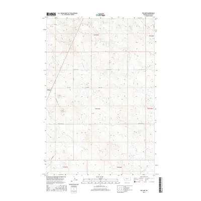
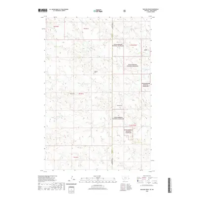
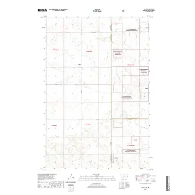
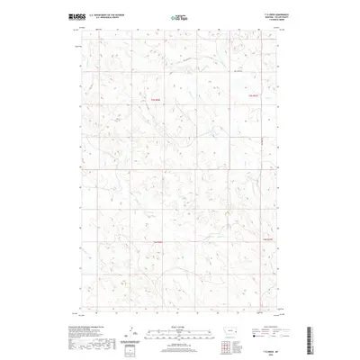
2024 Map of Lawrence Creek East
USGS Topo · Published 2024About this map
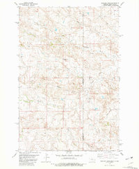
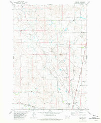
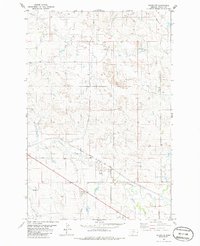
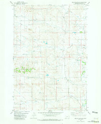
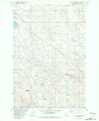
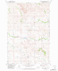
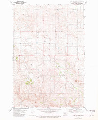
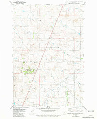
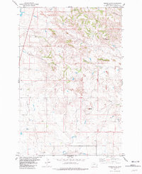
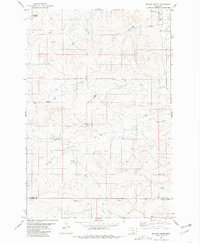
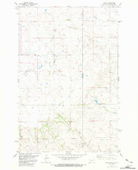
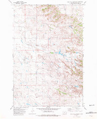
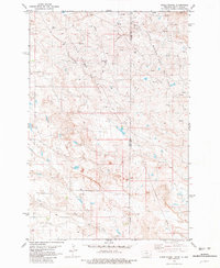
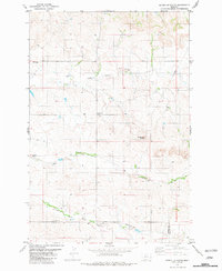
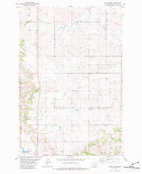
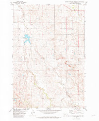
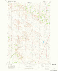
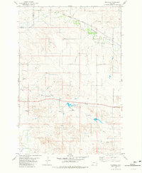
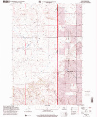
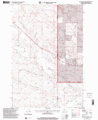
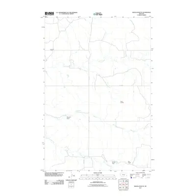
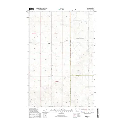
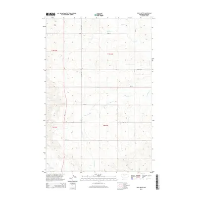
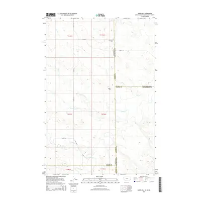
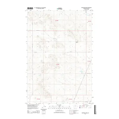
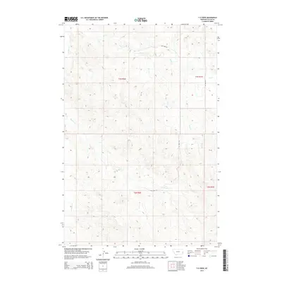
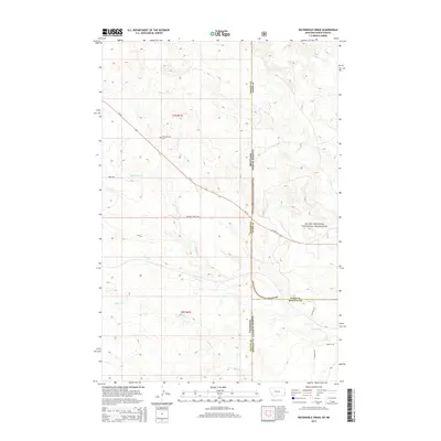
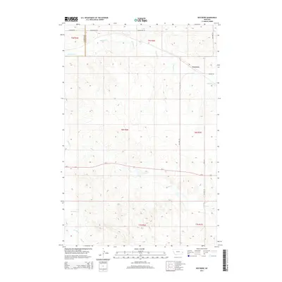
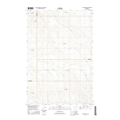
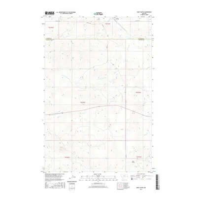
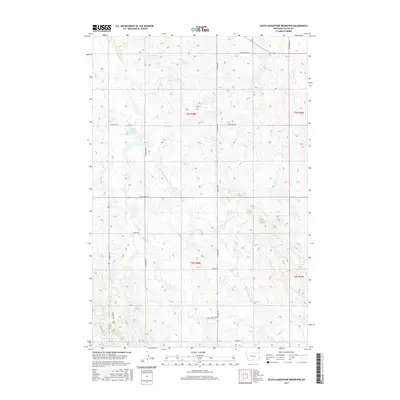
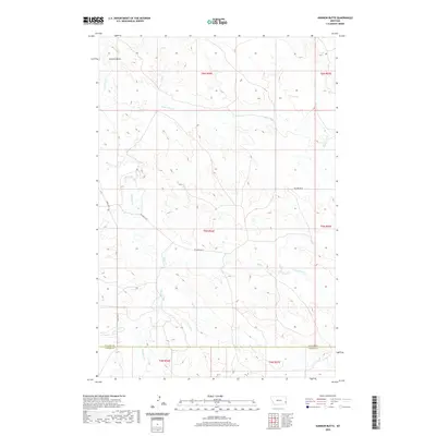
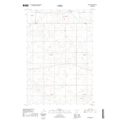
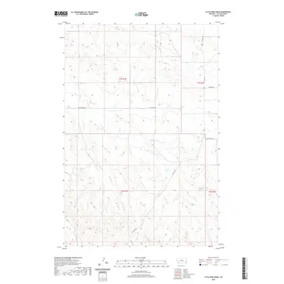
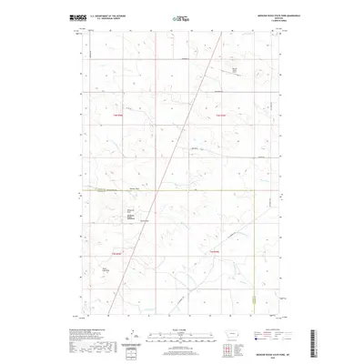
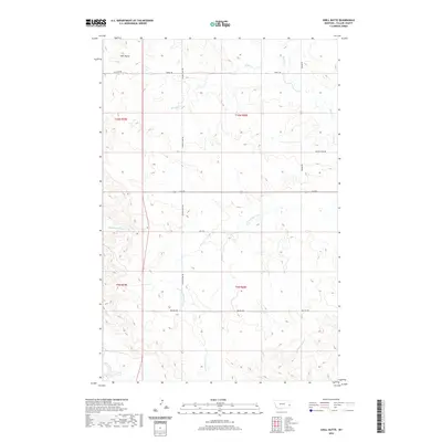
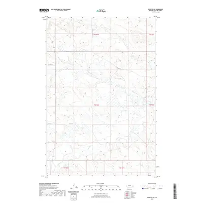
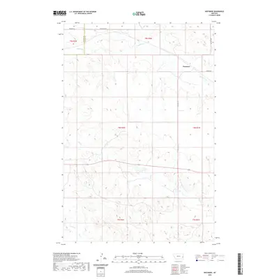
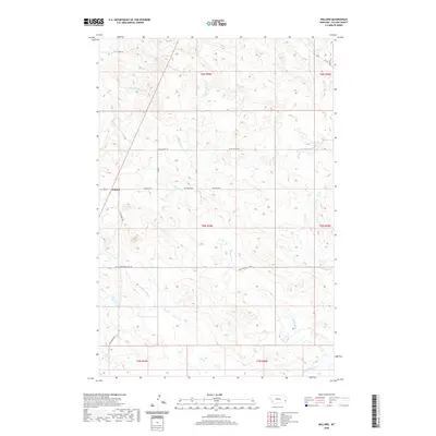
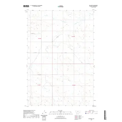
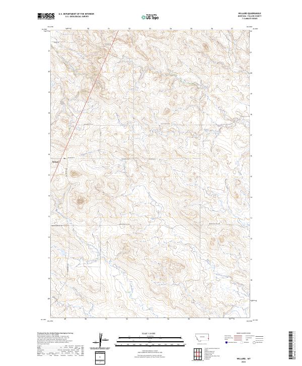
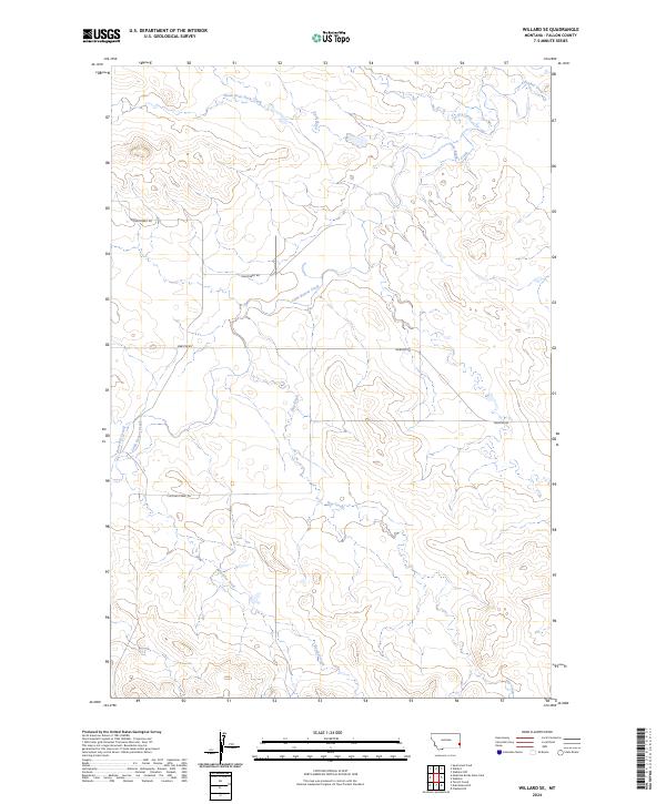
Cabin Creek and its various tributaries define the drainage patterns of this Fallon County landscape, where the prairie is carved into a complex system of draws and ridgelines. The network of seasonal watercourses includes the Middle Fork Cabin Creek, Wills Creek, and Lawrence Creek, all of which contribute to the larger watershed that has shaped local ranching and land use for generations. The human footprint is traced through a specific road network designed for resource access and rural transit, featuring routes like Anticline Rd and Gas Plant Rd. These names reflect the region's industrial ties, particularly to energy development. Further south, Dry Fork Creek and Plevna Rd N link this territory to nearby ranching communities, providing a detailed look at the rural infrastructure of eastern Montana in the early 21st century.
Find a feature on this map
15 named features on this map. Tap any name to fly to it.
Don’t see what you’re looking for? This feature index may not catch every label — zoom into the map to look around manually.
Map Details
Editions of this 2024 Lawrence Creek East Map
This is the sole edition of this map. No revisions or reprints were ever made.
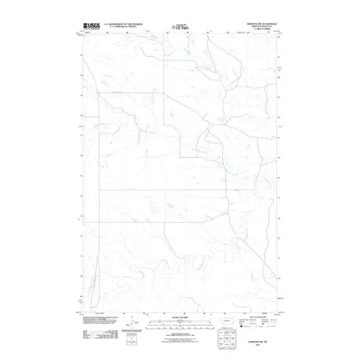
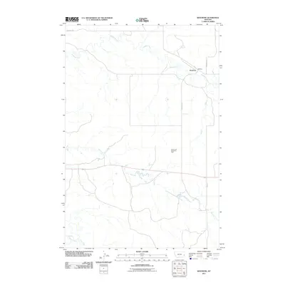
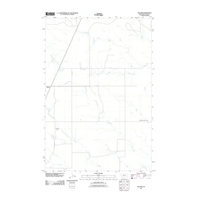
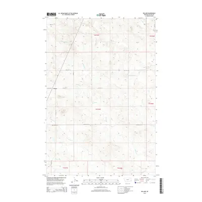
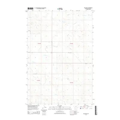
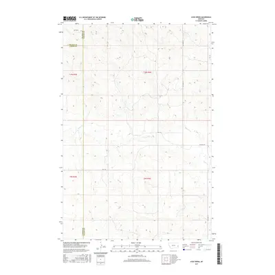
Historical Maps of Cabin Creek Through Time
188 maps found
1980 Snider Hill
Fallon County, MT
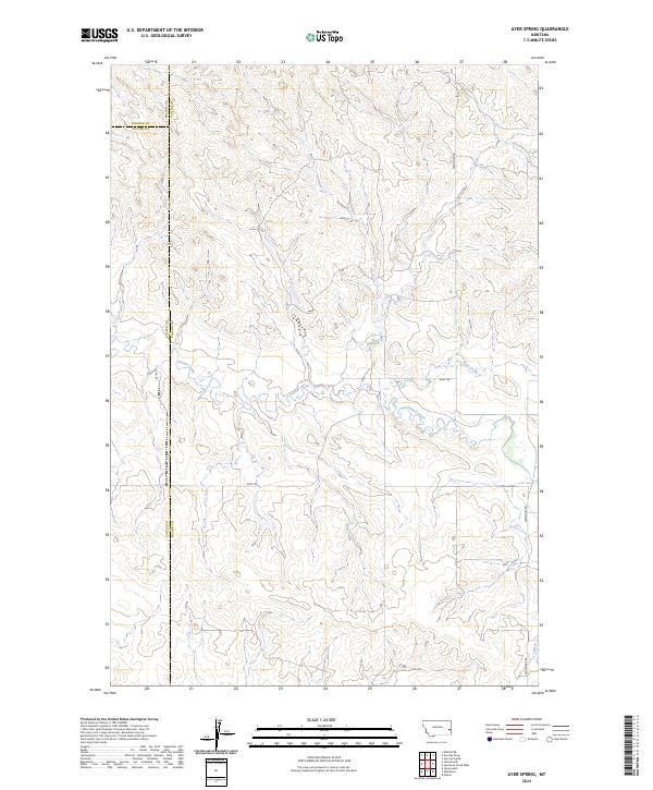
1981 Ayer Spring
Fallon County, MT
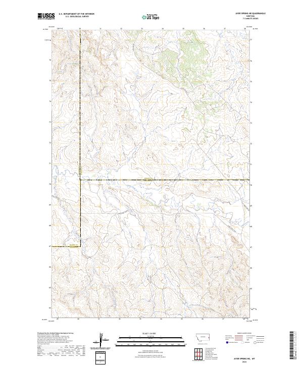
1981 Ayer Spring NE
Fallon County, MT
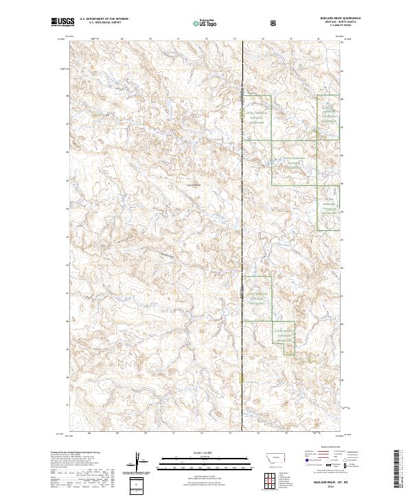
1981 Badland Draw
Fallon County, MT
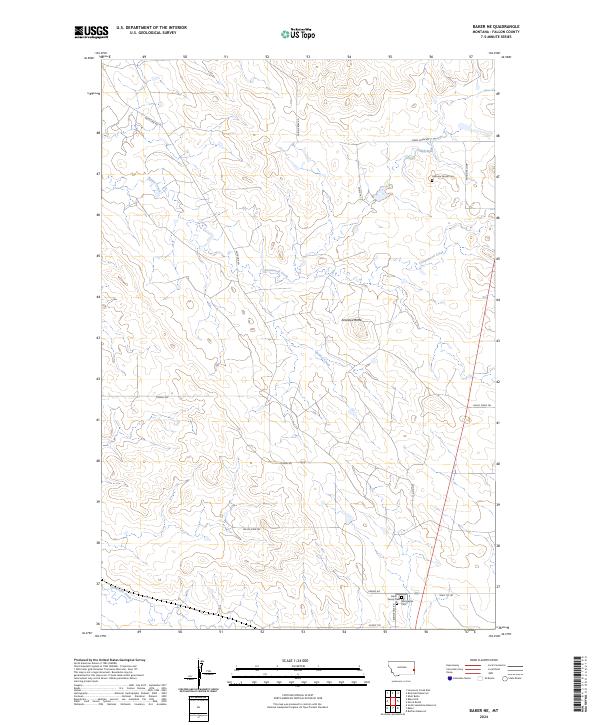
1981 Baker NE
Fallon County, MT
1981 Baker NW
Fallon County, MT
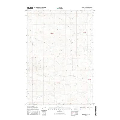
1981 Bracket Butte SE
Fallon County, MT
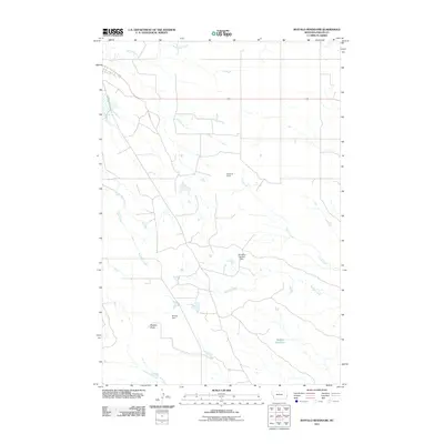
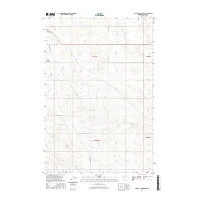
1981 Buffalo Reservoir
Fallon County, MT
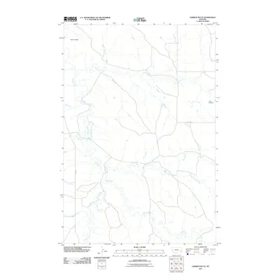
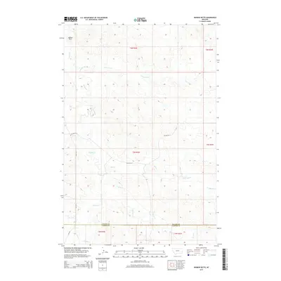
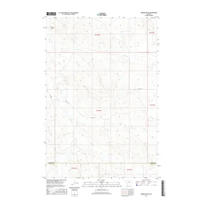
1981 Harmon Butte
Fallon County, MT
1981 Ismay South
Fallon County, MT
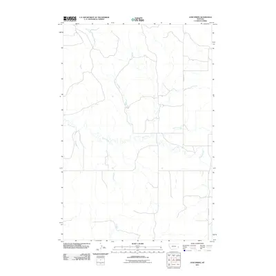
1981 Lawrence Creek East
Fallon County, MT
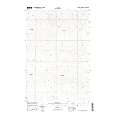
1981 Lawrence Creek West
Fallon County, MT
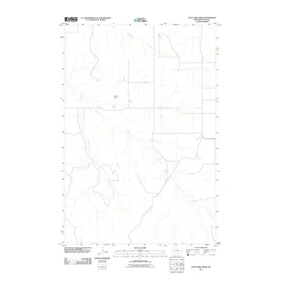
1981 Little Pine Creek
Fallon County, MT
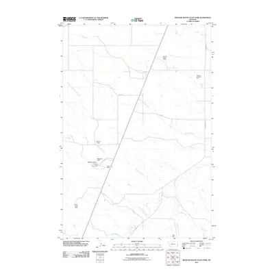
1981 Medicine Rocks State Park
Fallon County, MT
1981 Morris Butte
Fallon County, MT
1981 Nelson Butte
Fallon County, MT
1981 Ollie
Fallon County, MT
1981 Rush Hall Reservoir
Fallon County, MT
1981 Scole School
Fallon County, MT
1981 Seven-Up Butte
Fallon County, MT
1981 Shell Butte
Fallon County, MT
1981 South Sandstone Reservoir
Fallon County, MT
1981 Sportsman Pond
Fallon County, MT
1981 T G Creek
Fallon County, MT
1981 Waterhole Creek
Fallon County, MT
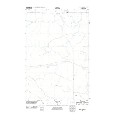
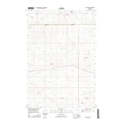
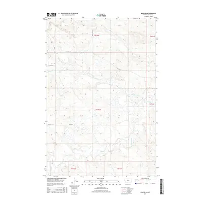
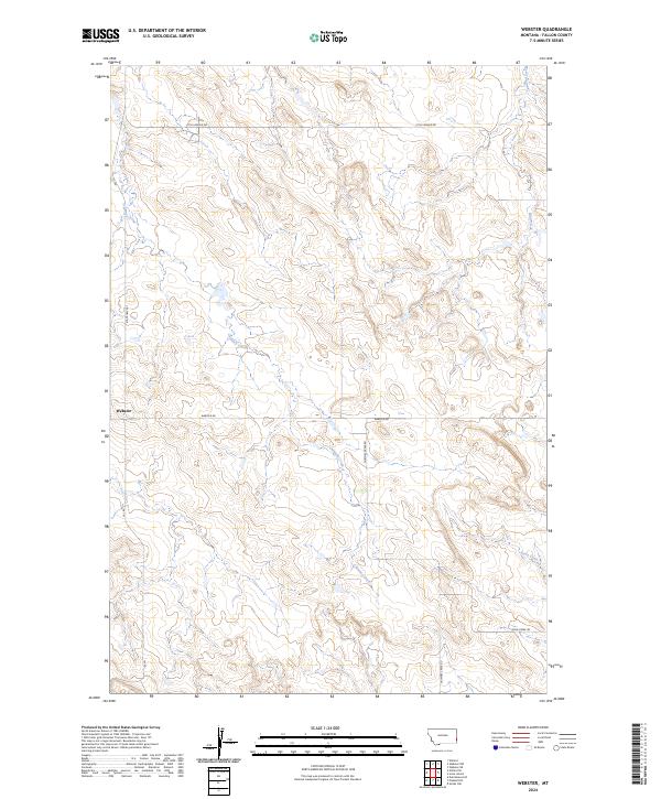
1981 Webster
Fallon County, MT
1981 Webster NW
Fallon County, MT
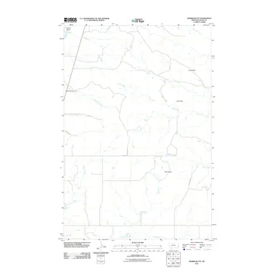
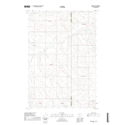
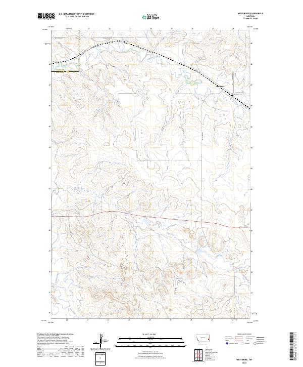
1981 Westmore
Fallon County, MT
1981 Willard
Fallon County, MT
1981 Willard SE
Fallon County, MT
1997 Badland Draw
Fallon County, MT
1997 Ollie
Fallon County, MT
1997 Waterhole Creek
Fallon County, MT
2011 Ayer Spring
Fallon County, MT
2011 Ayer Spring NE
Fallon County, MT
2011 Badland Draw
Fallon County, MT
2011 Baker NE
Fallon County, MT
2011 Baker NW
Fallon County, MT
2011 Bracket Butte SE
Fallon County, MT
2011 Buffalo Reservoir
Fallon County, MT
2011 Harmon Butte
Fallon County, MT
2011 Ismay South
Fallon County, MT
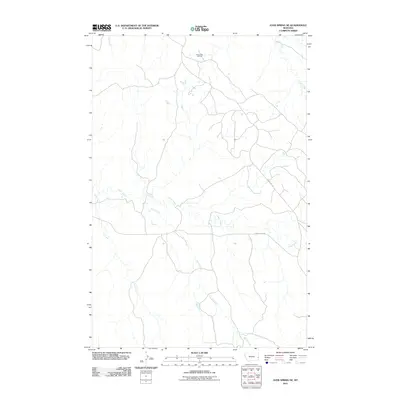
2011 Lawrence Creek East
Fallon County, MT
2011 Lawrence Creek West
Fallon County, MT
2011 Little Pine Creek
Fallon County, MT
2011 Medicine Rocks State Park
Fallon County, MT
2011 Morris Butte
Fallon County, MT
2011 Nelson Butte
Fallon County, MT
2011 Ollie
Fallon County, MT
2011 Rush Hall Reservoir
Fallon County, MT
2011 Scole School
Fallon County, MT
2011 Seven-up Butte
Fallon County, MT
2011 Shell Butte
Fallon County, MT
2011 Snider Hill
Fallon County, MT
2011 South Sandstone Reservoir
Fallon County, MT
2011 Sportsman Pond
Fallon County, MT
2011 T G Creek
Fallon County, MT
2011 Waterhole Creek
Fallon County, MT
2011 Webster
Fallon County, MT
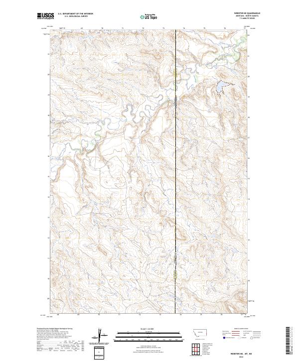
2011 Webster NE
Fallon County, MT
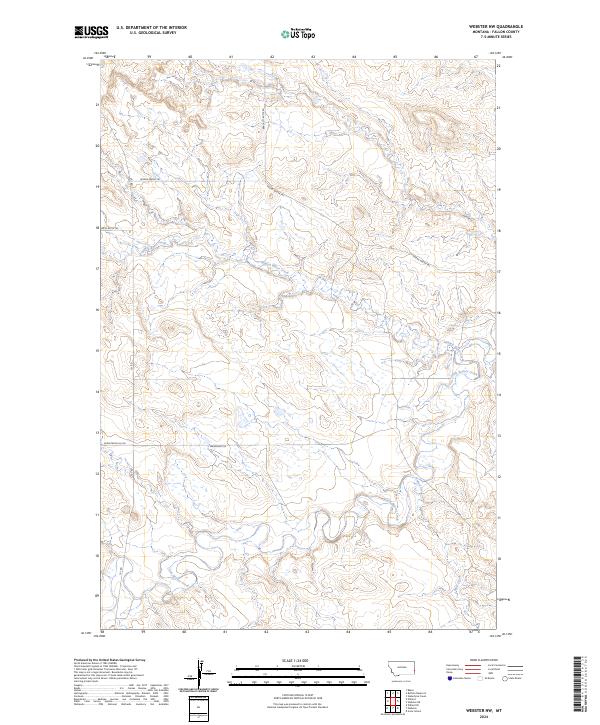
2011 Webster NW
Fallon County, MT
2011 Westmore
Fallon County, MT
2011 Willard
Fallon County, MT
2011 Willard SE
Fallon County, MT
2014 Ayer Spring
Fallon County, MT
2014 Ayer Spring NE
Fallon County, MT
2014 Badland Draw
Fallon County, MT
2014 Baker NE
Fallon County, MT
2014 Baker NW
Fallon County, MT
2014 Bracket Butte SE
Fallon County, MT
2014 Buffalo Reservoir
Fallon County, MT
2014 Harmon Butte
Fallon County, MT
2014 Ismay South
Fallon County, MT
2014 Lawrence Creek East
Fallon County, MT
2014 Lawrence Creek West
Fallon County, MT
2014 Little Pine Creek
Fallon County, MT
2014 Medicine Rocks State Park
Fallon County, MT
2014 Morris Butte
Fallon County, MT
2014 Nelson Butte
Fallon County, MT
2014 Ollie
Fallon County, MT
2014 Rush Hall Reservoir
Fallon County, MT
2014 Scole School
Fallon County, MT
2014 Seven-up Butte
Fallon County, MT
2014 Shell Butte
Fallon County, MT
2014 Snider Hill
Fallon County, MT

2014 South Sandstone Reservoir
Fallon County, MT
2014 Sportsman Pond
Fallon County, MT
2014 T G Creek
Fallon County, MT
2014 Waterhole Creek
Fallon County, MT
2014 Webster
Fallon County, MT
2014 Webster NE
Fallon County, MT
2014 Webster NW
Fallon County, MT
2014 Westmore
Fallon County, MT
2014 Willard
Fallon County, MT
2014 Willard SE
Fallon County, MT
2017 Ayer Spring
Fallon County, MT
2017 Ayer Spring NE
Fallon County, MT
2017 Badland Draw
Fallon County, MT
2017 Baker NE
Fallon County, MT
2017 Baker NW
Fallon County, MT
2017 Bracket Butte SE
Fallon County, MT
2017 Buffalo Reservoir
Fallon County, MT
2017 Harmon Butte
Fallon County, MT
2017 Ismay South
Fallon County, MT
2017 Lawrence Creek East
Fallon County, MT
2017 Lawrence Creek West
Fallon County, MT
2017 Little Pine Creek
Fallon County, MT
2017 Medicine Rocks State Park
Fallon County, MT
2017 Morris Butte
Fallon County, MT
2017 Nelson Butte
Fallon County, MT
2017 Ollie
Fallon County, MT
2017 Rush Hall Reservoir
Fallon County, MT
2017 Scole School
Fallon County, MT
2017 Seven-up Butte
Fallon County, MT
2017 Shell Butte
Fallon County, MT
2017 Snider Hill
Fallon County, MT
2017 South Sandstone Reservoir
Fallon County, MT
2017 Sportsman Pond
Fallon County, MT
2017 T G Creek
Fallon County, MT
2017 Waterhole Creek
Fallon County, MT
2017 Webster
Fallon County, MT
2017 Webster NE
Fallon County, MT
2017 Webster NW
Fallon County, MT
2017 Westmore
Fallon County, MT
2017 Willard
Fallon County, MT
2017 Willard SE
Fallon County, MT
2020 Ayer Spring
Fallon County, MT
2020 Ayer Spring NE
Fallon County, MT
2020 Badland Draw
Fallon County, MT
2020 Baker NE
Fallon County, MT
2020 Baker NW
Fallon County, MT

2020 Bracket Butte SE
Fallon County, MT
2020 Buffalo Reservoir
Fallon County, MT
2020 Harmon Butte
Fallon County, MT
2020 Ismay South
Fallon County, MT
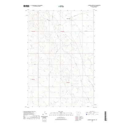
2020 Lawrence Creek East
Fallon County, MT
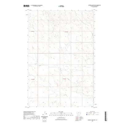
2020 Lawrence Creek West
Fallon County, MT
2020 Little Pine Creek
Fallon County, MT
2020 Medicine Rocks State Park
Fallon County, MT
2020 Morris Butte
Fallon County, MT
2020 Nelson Butte
Fallon County, MT
2020 Ollie
Fallon County, MT
2020 Rush Hall Reservoir
Fallon County, MT
2020 Scole School
Fallon County, MT
2020 Seven-up Butte
Fallon County, MT
2020 Shell Butte
Fallon County, MT
2020 Snider Hill
Fallon County, MT
2020 South Sandstone Reservoir
Fallon County, MT
2020 Sportsman Pond
Fallon County, MT
2020 T G Creek
Fallon County, MT
2020 Waterhole Creek
Fallon County, MT
2020 Webster
Fallon County, MT
2020 Webster NE
Fallon County, MT
2020 Webster NW
Fallon County, MT
2020 Westmore
Fallon County, MT
2020 Willard
Fallon County, MT
2020 Willard SE
Fallon County, MT
2024 Ayer Spring
Fallon County, MT
2024 Ayer Spring NE
Fallon County, MT
2024 Badland Draw
Fallon County, MT
2024 Baker NE
Fallon County, MT
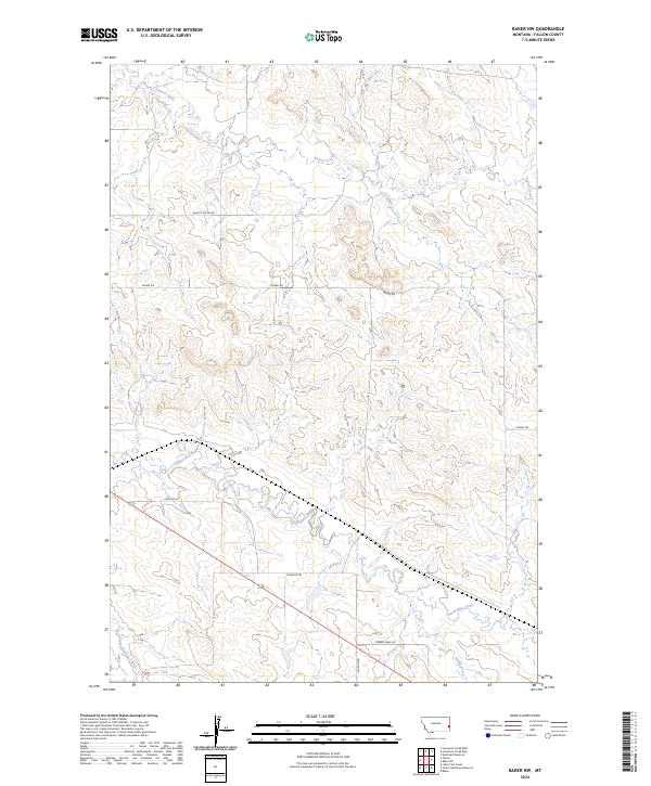
2024 Baker NW
Fallon County, MT
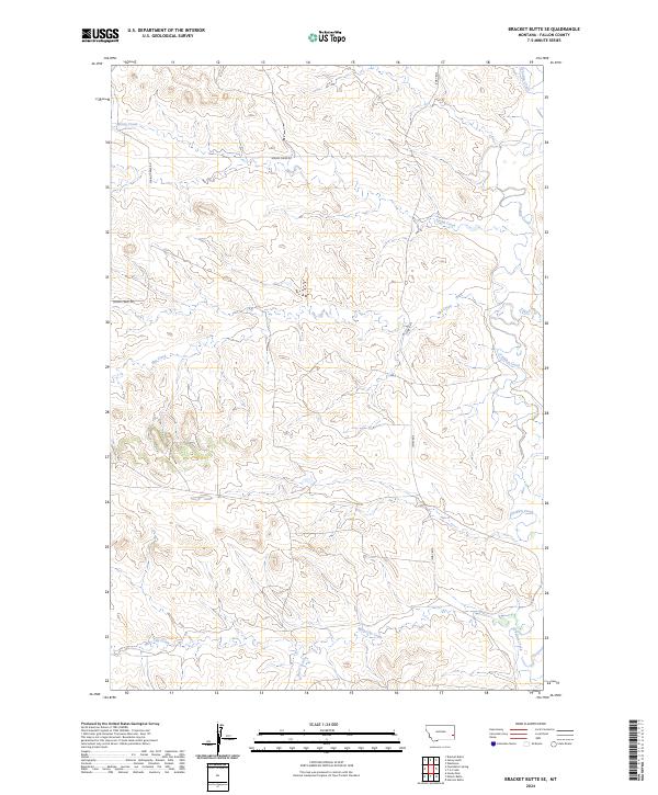
2024 Bracket Butte SE
Fallon County, MT
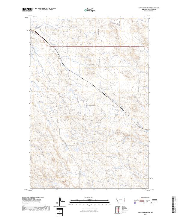
2024 Buffalo Reservoir
Fallon County, MT
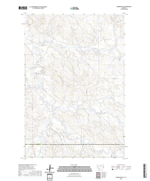
2024 Harmon Butte
Fallon County, MT
2024 Ismay South
Fallon County, MT
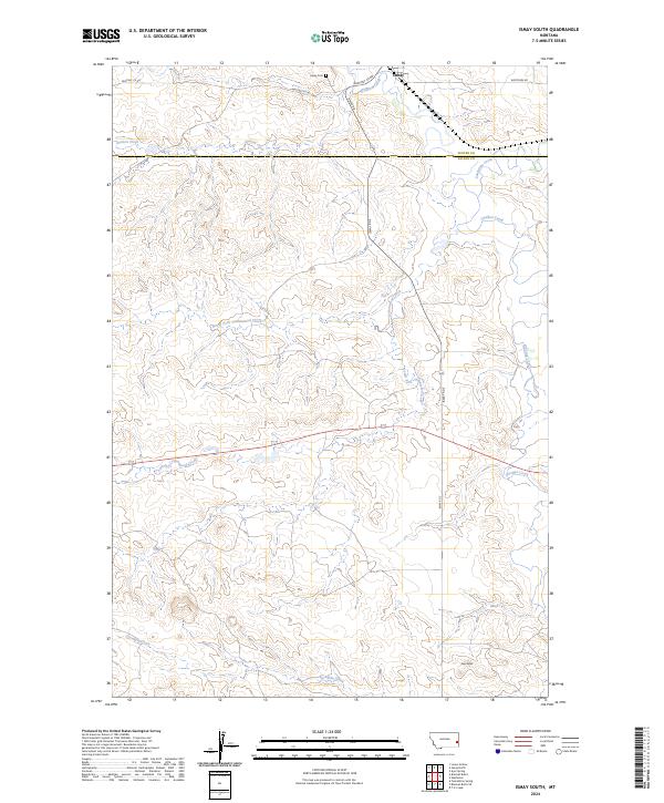
2024 Lawrence Creek East
Fallon County, MT
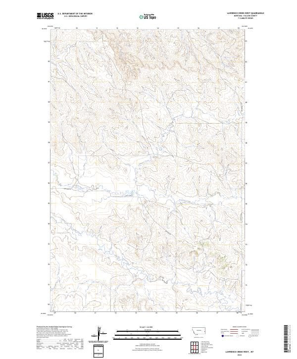
2024 Lawrence Creek West
Fallon County, MT
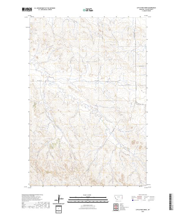
2024 Little Pine Creek
Fallon County, MT
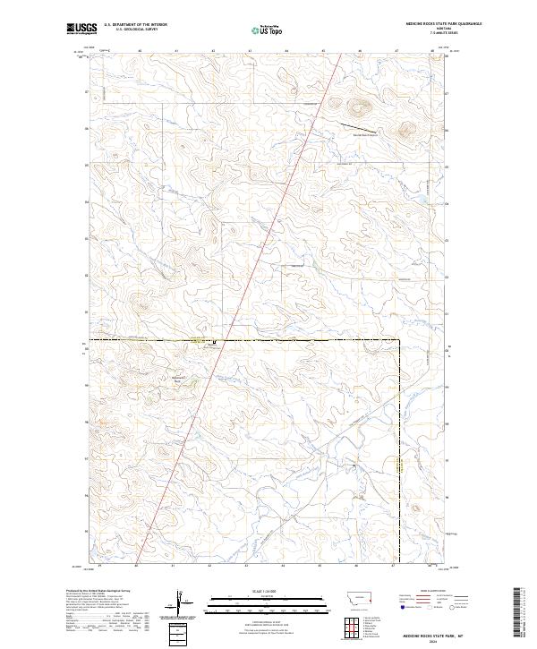
2024 Medicine Rocks State Park
Fallon County, MT
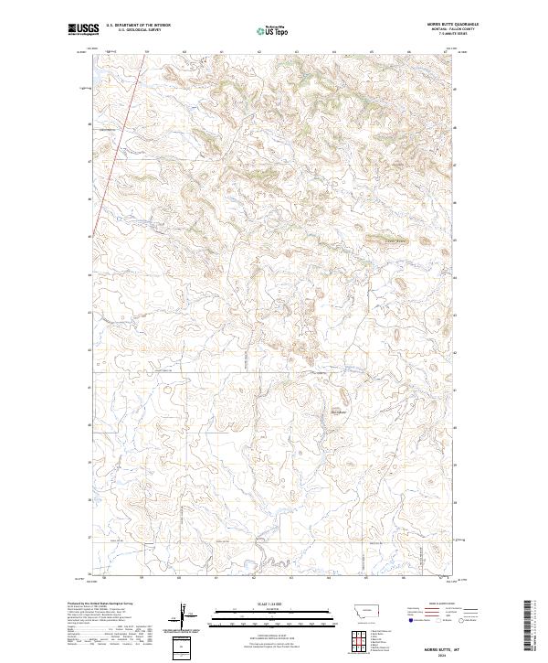
2024 Morris Butte
Fallon County, MT
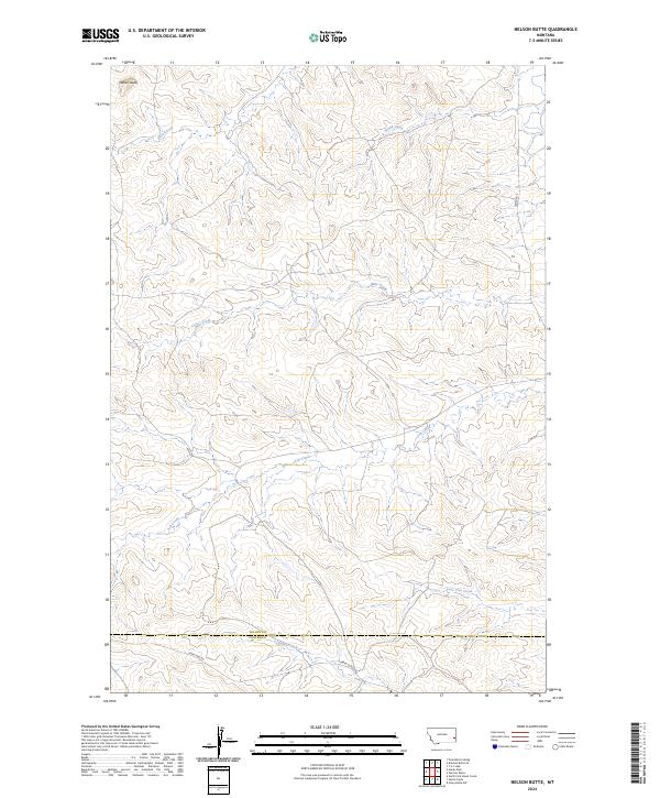
2024 Nelson Butte
Fallon County, MT
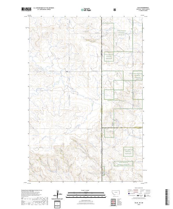
2024 Ollie
Fallon County, MT
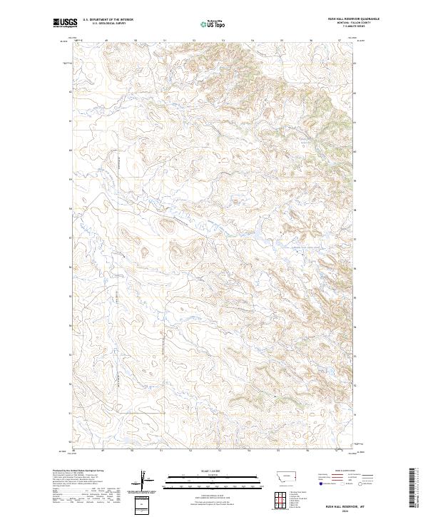
2024 Rush Hall Reservoir
Fallon County, MT
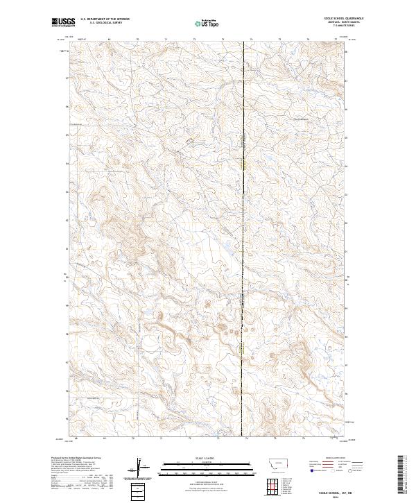
2024 Scole School
Fallon County, MT
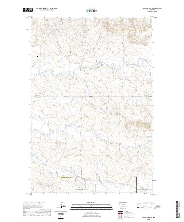
2024 Seven-up Butte
Fallon County, MT
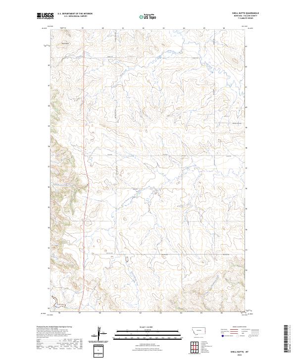
2024 Shell Butte
Fallon County, MT
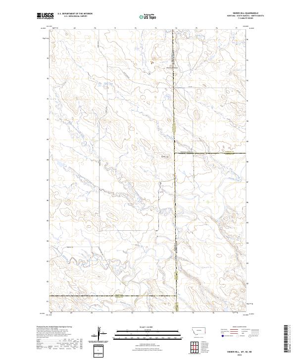
2024 Snider Hill
Fallon County, MT
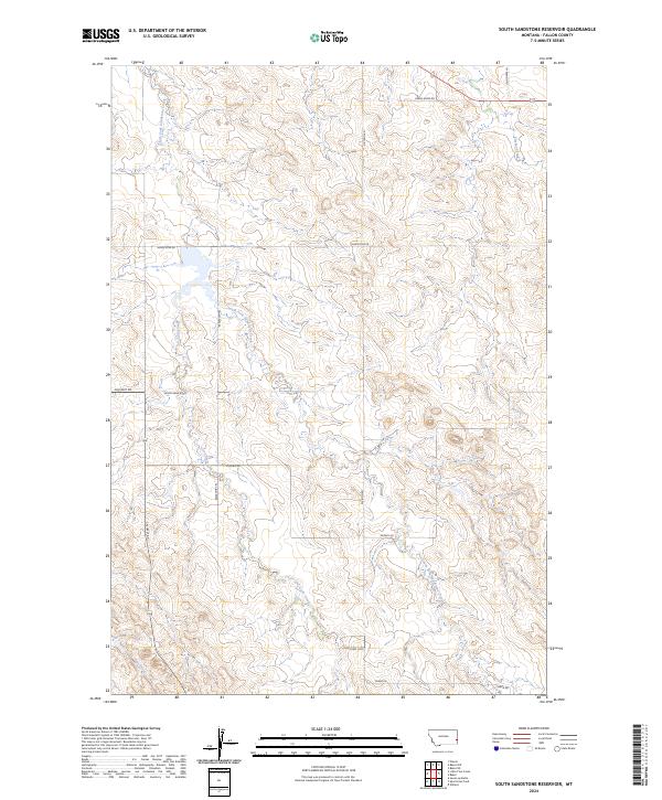
2024 South Sandstone Reservoir
Fallon County, MT
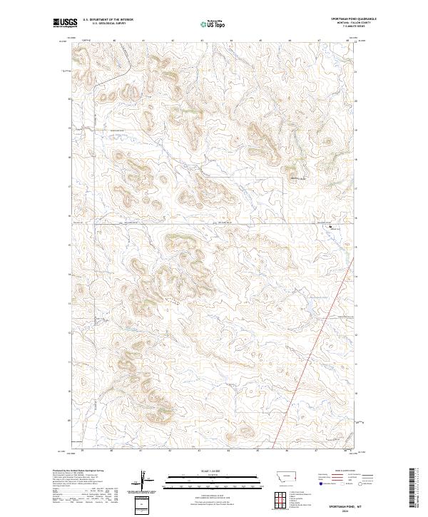
2024 Sportsman Pond
Fallon County, MT
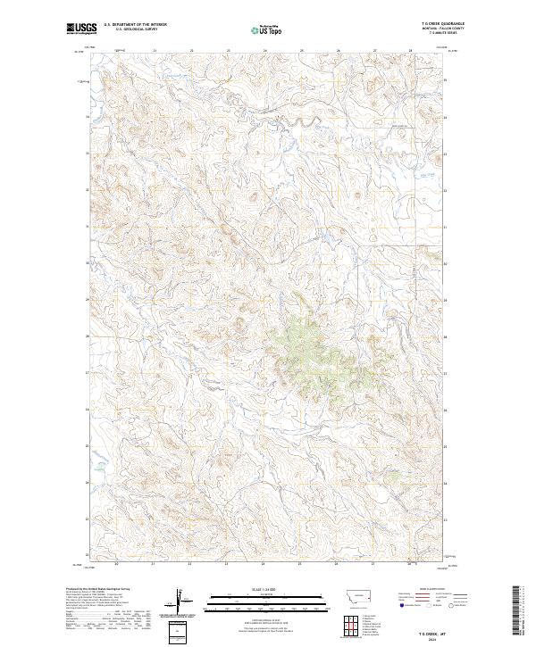
2024 T G Creek
Fallon County, MT
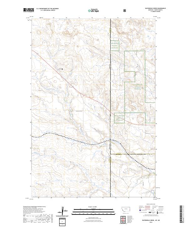
2024 Waterhole Creek
Fallon County, MT
2024 Webster
Fallon County, MT
2024 Webster NE
Fallon County, MT
2024 Webster NW
Fallon County, MT
2024 Westmore
Fallon County, MT
2024 Willard
Fallon County, MT
2024 Willard SE
Fallon County, MT