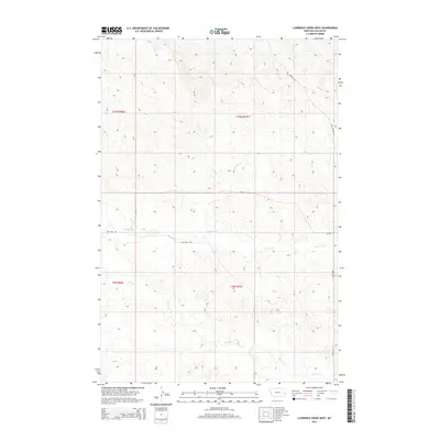
2014 Map of Lawrence Creek West
USGS Topo · Published 2014About this map
Lawrence Cr and Dry Fork Cr wind through this corner of Fallon County, Montana, defining a landscape of drainage basins and high plains. The area is characterized by its rural infrastructure, where routes like the Coal Springs Trl and Pleyna Rd N follow the natural contours of the land, providing access to remote ranching or agricultural sections. This 2014 survey documents the hydrological network of the region, including Pennel Cr, Horse Cr, and Cow Cr, which form a complex system of intermittent and seasonal waterways. The grid of the Public Land Survey System is clearly visible, showing the township and range divisions such as t10n r56e and t9n r57e that have organized this part of Eastern Montana since the early days of settlement.
Find a feature on this map
13 named features on this map. Tap any name to fly to it.
Don’t see what you’re looking for? This feature index may not catch every label — zoom into the map to look around manually.
Map Details
Editions of this 2014 Lawrence Creek West Map
This is the sole edition of this map. No revisions or reprints were ever made.
Other maps of this area

1953 · Miles City
USGS Topo · 1:250,000

1957 · Miles City
USGS Topo · 1:250,000

1958 · Miles City
USGS Topo · 1:250,000

1981 · Baker
USGS Topo · 1:100,000

1981 · Lawrence Creek East
USGS Topo · 1:24,000

1981 · Lawrence Creek West
USGS Topo · 1:24,000

1981 · Baker NW
USGS Topo · 1:24,000

1981 · Dorothy Draw
USGS Topo · 1:24,000

1981 · Ayer Spring NE
USGS Topo · 1:24,000

1981 · Ayer Spring
USGS Topo · 1:24,000