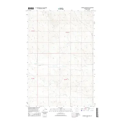
2017 Map of Lawrence Creek West
USGS Topo · Published 2017About this map
Dry Fork Cr and Pennel Cr carve through this section of Fallon County, Montana, defining a landscape where water is the primary architect of the terrain. The map documents a sparsely settled ranching or agricultural region where movement is dictated by a few key thoroughfares, including Dry Fork Rd and the historical corridor of the Coal Springs Trl. These routes, along with Pleyna Rd N, connect the isolated sections of the Public Land Survey System, specifically within the boundaries of t10n r57e and t9n r57e. The drainage patterns of Horse Cr and Lawrence Cr illustrate the subtle elevation shifts in this northern plains environment, providing essential detail for understanding the local hydrography and land use at the time of this 2017 survey.
Find a feature on this map
11 named features on this map. Tap any name to fly to it.
Don’t see what you’re looking for? This feature index may not catch every label — zoom into the map to look around manually.
Map Details
Editions of this 2017 Lawrence Creek West Map
This is the sole edition of this map. No revisions or reprints were ever made.
Other maps of this area

1953 · Miles City
USGS Topo · 1:250,000

1957 · Miles City
USGS Topo · 1:250,000

1958 · Miles City
USGS Topo · 1:250,000

1981 · Baker
USGS Topo · 1:100,000

1981 · Lawrence Creek East
USGS Topo · 1:24,000

1981 · Lawrence Creek West
USGS Topo · 1:24,000

1981 · Baker NW
USGS Topo · 1:24,000

1981 · Dorothy Draw
USGS Topo · 1:24,000

1981 · Ayer Spring NE
USGS Topo · 1:24,000

1981 · Ayer Spring
USGS Topo · 1:24,000