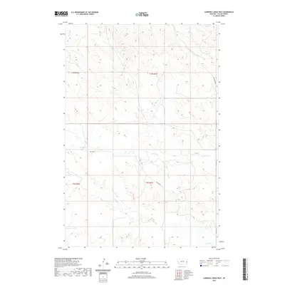
2020 Map of Lawrence Creek West
USGS Topo · Published 2020About this map
Pennel Cr and Dry Fork Cr drain this eastern Montana landscape, carving distinct drainage patterns through the breaks of Fallon County. In this modern survey of the high plains, the land is largely defined by its watercourses and a sparse network of section-line roads and tracks. Long-established cattle trails and rural routes like the Coal Springs Trl and Dry Fork Rd provide the primary access through the townships of T9N and T10N. While the map shows little in the way of dense settlement, the inclusion of named features such as Lawrence Cr, Horse Cr, and Cow Cr highlights the critical importance of water resources in this arid ranching environment. To the east, Plevna Rd N skirts the edge of the quadrangle, serving as a connector for the remote holdings in this corner of the state.
Find a feature on this map
12 named features on this map. Tap any name to fly to it.
Don’t see what you’re looking for? This feature index may not catch every label — zoom into the map to look around manually.
Map Details
Editions of this 2020 Lawrence Creek West Map
This is the sole edition of this map. No revisions or reprints were ever made.
Other maps of this area

1953 · Miles City
USGS Topo · 1:250,000

1957 · Miles City
USGS Topo · 1:250,000

1958 · Miles City
USGS Topo · 1:250,000

1981 · Baker
USGS Topo · 1:100,000

1981 · Lawrence Creek East
USGS Topo · 1:24,000

1981 · Lawrence Creek West
USGS Topo · 1:24,000

1981 · Baker NW
USGS Topo · 1:24,000

1981 · Dorothy Draw
USGS Topo · 1:24,000

1981 · Ayer Spring NE
USGS Topo · 1:24,000

1981 · Ayer Spring
USGS Topo · 1:24,000